


21 km | 24 km-effort

Usuario


Aplicación GPS de excursión GRATIS
 SityTrail
IGN / Institutos geográficos
SityTrail World
El mundo es suyo
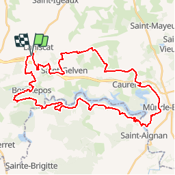
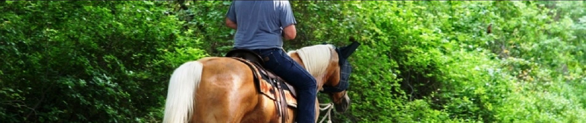
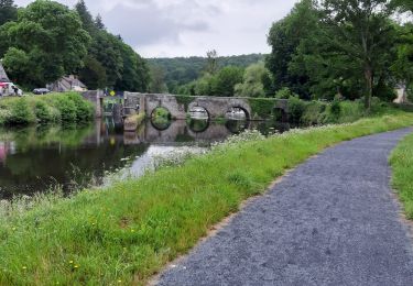
Ruta Caballo de 42 km a descubrir en Bretaña, Côtes-d'Armor, Bon Repos sur Blavet. Esta ruta ha sido propuesta por tracegps.
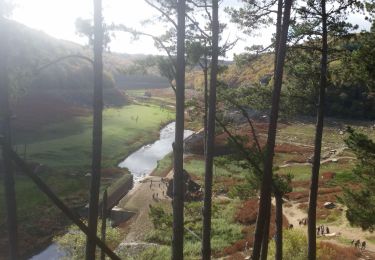
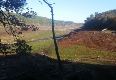
Pays de Guerlédan Ce circuit est fermé pendant la période de chasse, du 24 septembre au 1er mars. Voici une superbe balade. Nous vous proposons de commencer cette boucle passant par Saint Gelven et ses éoliennes qui surplombent sur le plateau au nord, le lac de Guerlédan. L’ancienne voie ferrée vous mènera ensuite aux portes de Mur de Bretagne…. La suite du récit est ICI Balade proposée par les Cavaliers d’Extérieur des Côtes d’Armor

A pie
Senderismo
Senderismo
Senderismo
Senderismo
Senderismo
Senderismo
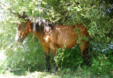
Caballo

Coche