


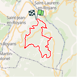

10,1 km | 22 km-effort


Usuario


Aplicación GPS de excursión GRATIS
 SityTrail
IGN / Institutos geográficos
SityTrail World
El mundo es suyo
Ruta Senderismo de 15,9 km a descubrir en Auvergne-Rhône-Alpes, Drôme, Saint-Jean-en-Royans. Esta ruta ha sido propuesta por ajd26.
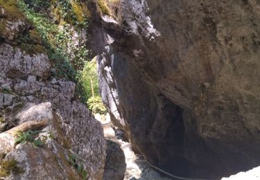
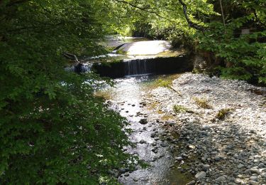
Départ après les Rimets, grottes de Frochet(pente raide), Echarasson et retour par le pas de la Serre


Senderismo

Senderismo

Senderismo
Senderismo

Senderismo

Senderismo
Senderismo

Senderismo

Senderismo