


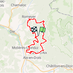

12,6 km | 27 km-effort

Usuario


Aplicación GPS de excursión GRATIS
 SityTrail
IGN / Institutos geográficos
SityTrail World
El mundo es suyo
Ruta Bici de montaña de 33 km a descubrir en Auvergne-Rhône-Alpes, Drôme, Die. Esta ruta ha sido propuesta por tracegps.
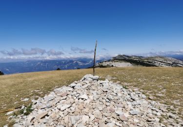
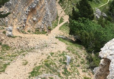
Les balcons du Glandasse à faire et à refaire...par beau temps! Plus de renseignements sur le blog des Tontons Dérailleurs.


sport

Senderismo

Senderismo

sport

Senderismo
Senderismo
Senderismo
Senderismo
Senderismo