


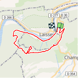

14,4 km | 18,7 km-effort


Usuario


Aplicación GPS de excursión GRATIS
 SityTrail
IGN / Institutos geográficos
SityTrail World
El mundo es suyo
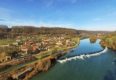
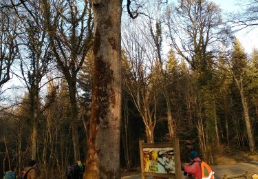
Ruta Otra actividad de 8,3 km a descubrir en Borgoña-Franco Condado, Doubs, Champlive. Esta ruta ha sido propuesta por eltonnermou.
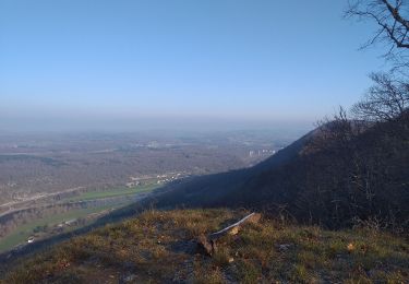
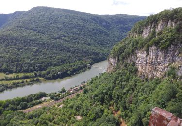
Belle randonnée à faire en automne en sous bois. 2km de montée, puis 2 km faux plat montant, bâtons conseillés 2 km descente raide et glissante.
occasion de surprendre des chamois.
Senderismo
A pie
A pie
A pie
Senderismo
Senderismo
Senderismo
Senderismo
Senderismo