


13,1 km | 24 km-effort

Usuario


Aplicación GPS de excursión GRATIS
 SityTrail
IGN / Institutos geográficos
SityTrail World
El mundo es suyo
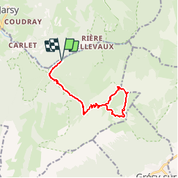
Ruta Senderismo de 13,3 km a descubrir en Auvergne-Rhône-Alpes, Saboya, École. Esta ruta ha sido propuesta por tracegps.
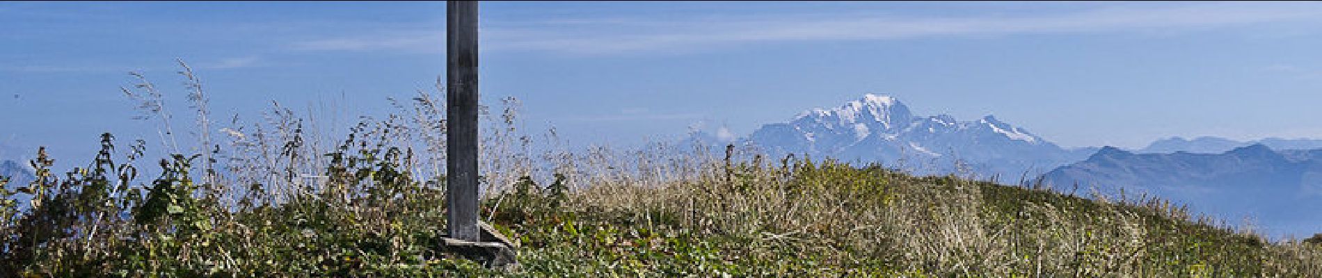
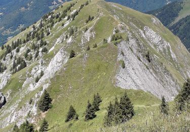
La cime herbeuse du Mont d'Armenaz permet un circuit qui pourrait sembler débonnaire, sans tenir compte de la raideur des pentes et du long aller et retour depuis le parking du couvent. Par la route maintenant interdite à la circulation, la maison forestière de la Pépinière atteinte, c'est par le chemin de la chapelle Notre-Dame de Bellevaux que commence la véritable randonnée. Une déviation mise en place permet la découverte d'un bon sentier qui suit le Ruisseau de la Lanche et raccourcit le lacet de la chapelle ruinée. Par le Chalet des Gardes, l'ascension se poursuit jusqu'au Passage d'Armène. Une raide côte herbeuse conduit au sommet. Ensuite, l'Arête de l'Arpette dépose au Col d'Armène pour descendre par le vallon éponyme retrouver l'itinéraire de montée sous le Chalet des Gardes. Description complète sur sentier-nature.com : Le Mont d'Armenaz, 2158m. Avertissement [Pénibilité 1/3]. Certains passages de cet itinéraire de montagne sont escarpés et/ou très exposés, il est déconseillé aux enfants non accompagnés et aux personnes sujettes au vertige. Pour votre sécurité, nous vous invitons à respecter les règles suivantes : être bien chaussé, ne pas s'engager par mauvais temps, ne pas s'écarter de l'itinéraire ni des sentiers. Il apparaît souhaitable de réaliser cette course par temps sec.


Senderismo

Senderismo

Senderismo

Senderismo

Senderismo

Senderismo

Senderismo
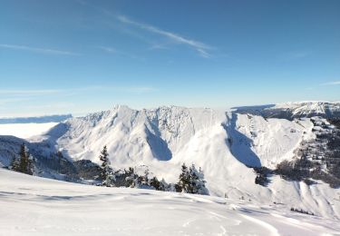
Esquí de fondo
Senderismo