


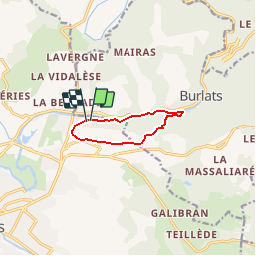

7,3 km | 8,5 km-effort


Usuario


Aplicación GPS de excursión GRATIS
 SityTrail
IGN / Institutos geográficos
SityTrail World
El mundo es suyo
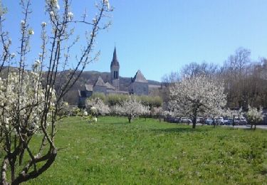
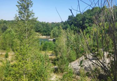
Ruta Senderismo de 7,2 km a descubrir en Occitania, Tarn, Castres. Esta ruta ha sido propuesta por tracegps.
Boucle empruntant le chemin des Fontaines et longeant sur une partie du parcours l'Agout. Certaines portions du chemin sont à pratiquer par temps sec.
A pie
Senderismo
Senderismo

Bici de montaña
Senderismo

Senderismo
Senderismo
Senderismo