


9,4 km | 12,2 km-effort


Usuario


Aplicación GPS de excursión GRATIS
 SityTrail
IGN / Institutos geográficos
SityTrail World
El mundo es suyo
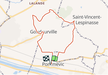
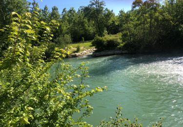
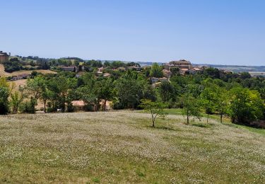
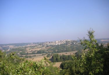
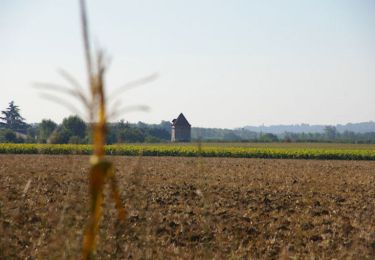
Ruta Bici de montaña de 8,8 km a descubrir en Occitania, Tarn y Garona, Pommevic. Esta ruta ha sido propuesta por tracegps.
Départ du centre du village de Pommevic. Du parking de la salle des fêtes, dos au cimetière prendre en face, (vers le nord) la rue qui rejoint le passage à niveau à 300 m de là. Traverser la voie ferrée et prendre à droite la D96 sur 200m, avant de suivre un chemin à gauche, qui part le long d'une clôture d'habitation.

sport

sport
sport
sport
sport
sport
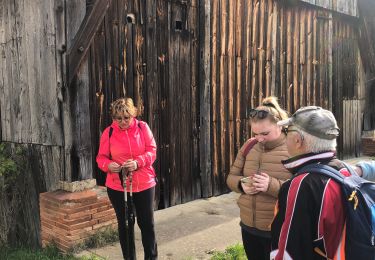
Senderismo
Bici de montaña
Senderismo