


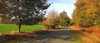


5,1 km | 7,8 km-effort

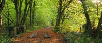
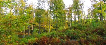
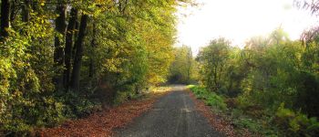
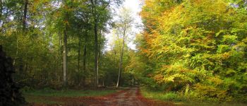
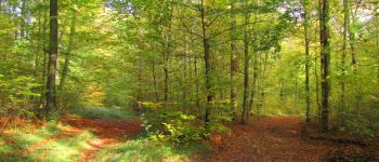
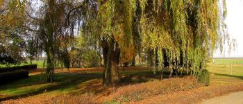
forêts de France


Aplicación GPS de excursión GRATIS
 SityTrail
IGN / Institutos geográficos
SityTrail World
El mundo es suyo
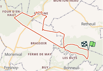
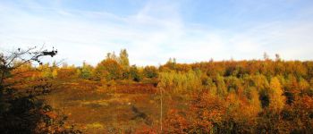
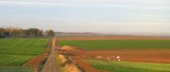
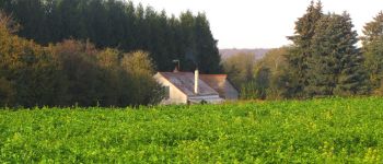
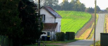
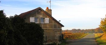
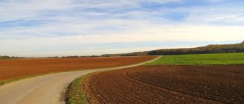
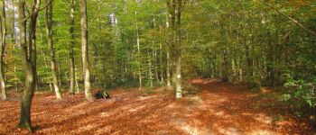
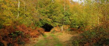
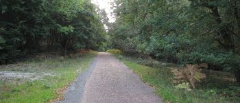
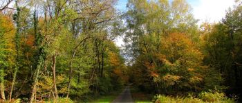
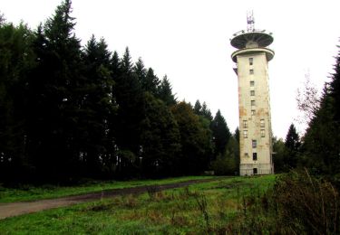
Ruta Senderismo de 19,5 km a descubrir en Alta Francia, Aisne, Haramont. Esta ruta ha sido propuesta por en forêt de Retz.
voir aussi mon blog: http://foret-de-retz.over-blog.com/
11/ 2018
batterie de recharge pour iphone indispensable.
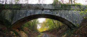
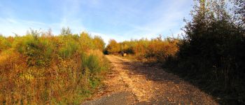
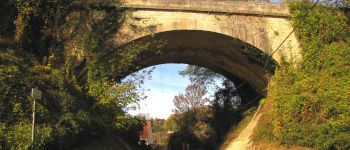
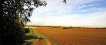
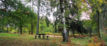
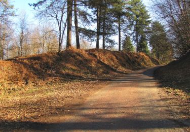
rando classée modérée: longueur. On arrive sur le premier pont de l'ancienne voie Troësnes-le Port aux Perches. Mais le chemin du Pommier Walleyrand est ... dessous. La descente des talus est abrupte (bâton de marche très utile).
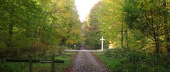
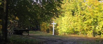
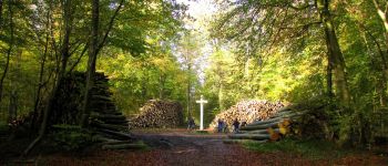
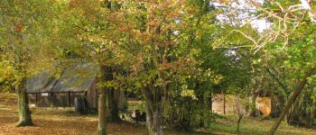
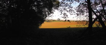
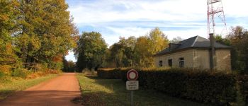
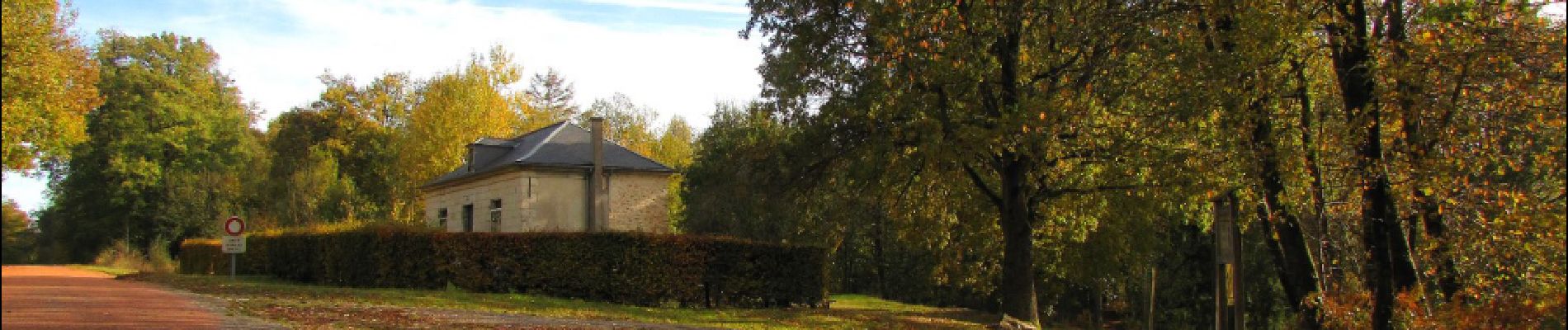
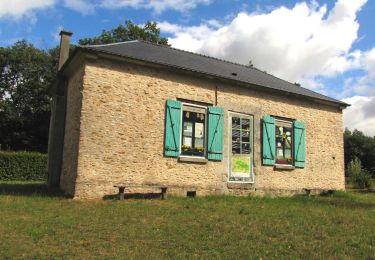
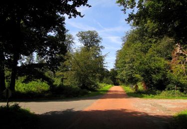
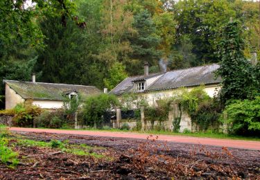
Au départ du carrefour de Montaigu, suivre la laie du Bois Hariez pour rejoindre le chemin du Pommier Walleyrand. Suivre à droite ce chemin pour rejoindre le carrefour avec la Route du Faîte. Tourner à gauche dans cette route et la suivre ... jusqu'au carrefour Eulalie. Tourner à droite dans la Route de la Fortelle et continuer jusqu'au carrefour du Bel Orme. Prendre à droite la Route de Saint-Nicolas-de-Courson et rejoindre le carrefour avec le sentier du Fort Cheval. Le suivre pour aller à Palesne. Traverser Palesne et suivre la cote de la République. Tourner à droite dans le buisson dangereux et continuer jusqu'à l'Essart l'Abbesse. Tourner à gauche dans le chemin de la résidence de la Ferme de l'Essart et le suivre jusqu'au carrefour avec le chemin du Pommier Walleyrand. Prendre à droite ce chemin et le suivre jusqu'au carrefour avec la Route du Faîte (déjà passé au départ). Prendre la Route du Faîte pour revenir au carrefour de Montaigu.


141 fotos en total. Haga clic en una foto para mostrarlas todas en la galería.

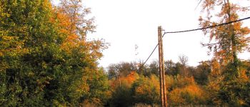
Senderismo
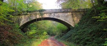
Senderismo
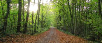
Senderismo
Senderismo
Senderismo
Senderismo
Senderismo
Senderismo