


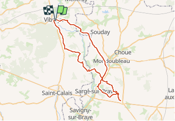

116 km | 130 km-effort

Usuario


Aplicación GPS de excursión GRATIS
 SityTrail
IGN / Institutos geográficos
SityTrail World
El mundo es suyo
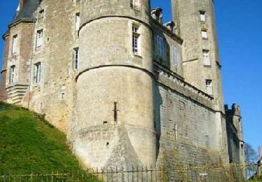
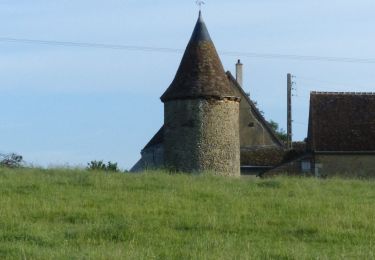
Ruta Bici de montaña de 57 km a descubrir en Países del Loira, Sarthe, Vibraye. Esta ruta ha sido propuesta por tracegps.
Il faut quand même une bonne condition, 2 passages dans des ruisseaux asséchés avec de grosses pierres. De Mondoubleau en direction de Vibraye , une bonne partie du GR Perche de Pays Perche Vendomois ( chemin pour véhicule agricole).

Bicicleta
Senderismo
Senderismo

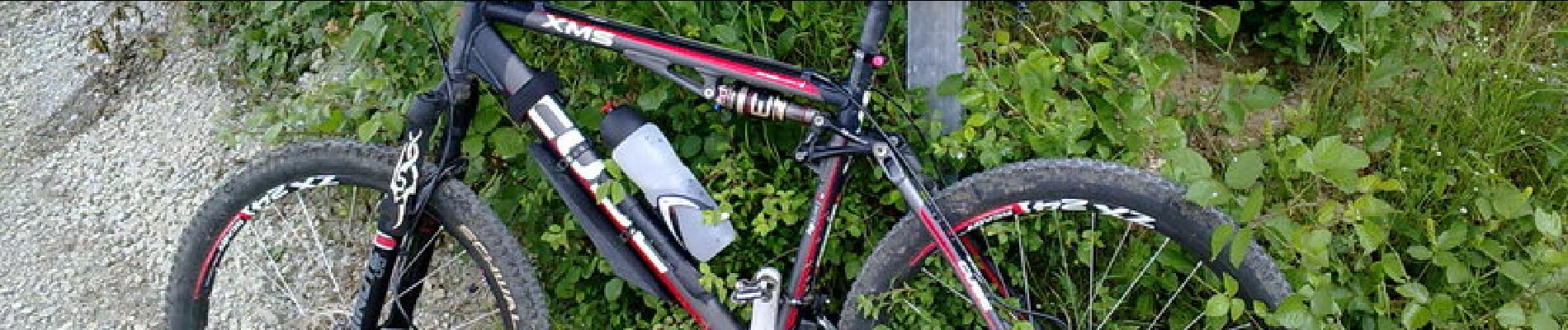
Bici de montaña

Senderismo
Senderismo
Senderismo
Senderismo