


10,8 km | 18,3 km-effort


Usuario


Aplicación GPS de excursión GRATIS
 SityTrail
IGN / Institutos geográficos
SityTrail World
El mundo es suyo
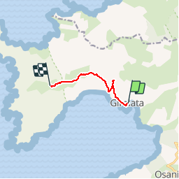
Ruta Senderismo de 5,5 km a descubrir en Córcega, Córcega del Sur, Osani. Esta ruta ha sido propuesta por tracegps.
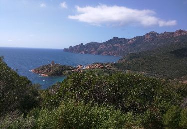
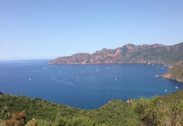
Un sommet extraordinaire au sommet de la presqu'île de Scandola cité dans le top ten Corse de Montagnes Magazine de l'été 2009. Réussi grâce à une grosse expérience, la carte 25000 et quelques cairns dissimulés ça et là : la trace et le GPS seront très précieux de même que de bons pantalons; mais quelle vue !
Senderismo
Senderismo
Otra actividad

Senderismo
Senderismo
Senderismo
Senderismo
Senderismo

Senderismo
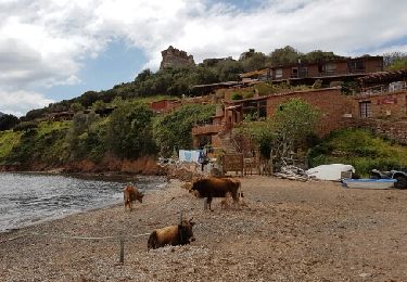
girolata