![](/images/other/stat-length.png)
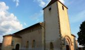
![Excursión Bici de montaña Ouches - La Ouchoise (VTT-2011) - Ouches - Photo](https://media.geolcdn.com/t/1900/400/ext.pjpeg?maxdim=2&url=https%3A%2F%2Fservices.sitytrail.com%2FGeolivesWS%2FDownloadMedia.ashx%3FTrailID%3D106518%26Media%3D11072_2.jpg)
La Ouchoise (VTT-2011) - Ouches
tracegps
Usuario
![Longitud](/images/other/stat-length.png)
![Altitud máxima](https://static1.geolcdn.com/siteimages/upload/files/1508320355ic_sort_altitude_max_24dp.png)
![Desnivel positivo](https://static1.geolcdn.com/siteimages/upload/files/1508320355ic_sort_den_pos_24dp.png)
![Km-Effort](/images/other/stat-length.png)
![Altitud mínima](https://static1.geolcdn.com/siteimages/upload/files/1508320355ic_sort_altitude_min_24dp.png)
![Desnivel negativo](https://static1.geolcdn.com/siteimages/upload/files/1508320355ic_sort_den_neg_24dp.png)
![Boucle](https://static1.geolcdn.com/siteimages/upload/files/16400158638029165_repeat_loop_refresh_sync_direction_icon.png)
![Bici de montaña](https://static1.geolcdn.com/sitytour/trail-icons/202.png)
5h00
Dificultad : Muy difícil
![Escanee este código QR para abrir la excursión en la aplicación SityTrail](https://capi.geolives.com/qq0zvz2zws4bq2lad0pu/sitytour/trails/106518/qr.png?size=200)
Aplicación GPS de excursión GRATIS
A propósito
Ruta Bici de montaña de 66 km a descubrir en Auvergne-Rhône-Alpes, Loira, Ouches. Esta ruta ha sido propuesta por tracegps.
Descripción
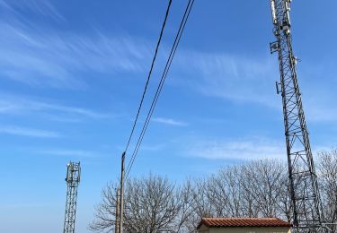
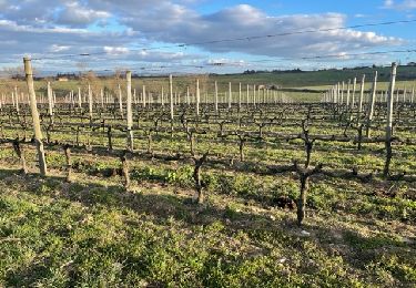
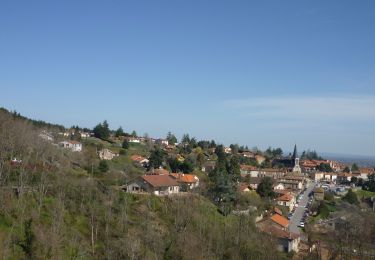
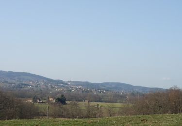
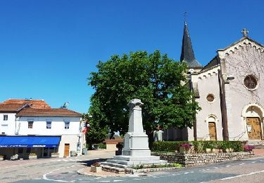
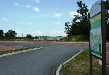
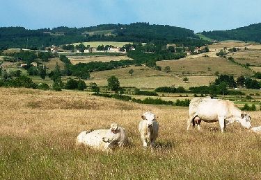
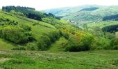
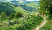
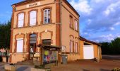
Parking gratuit et départ face à la mairie. "La Ouchoise 2011", organisée par le Club Cyclo Ouchois, s'est déroulée le dimanche 1er mai 2011. ATTENTION : Marathon VTT très exigeant, réservé exclusivement aux pilotes confirmés et endurants ! Le circuit est long, technique et physique ! Départ d'Ouches dans la plaine Roannaise à 324 m pour atteindre la station de ski de La Loge des Gardes à 1100 m. En altitude vous pourrez contempler les nombreux points de vue et si les conditions météo s'y prêtent, observer le Mont Blanc. Mettre l'appareil photo dans le sac à dos. J'ai volontairement modifié légèrement le parcours pour réaliser une trace en une seule boucle et ce afin d'éviter les 3 croisements du circuit réellement tracé par les organisateurs. Topoguides : Randoguide : à travers l'ouest Roannais (CCOR); Randonnée en Côte roannaise (petit St Vincent); Les Monts de la Madeleine (Balades et randonnées à pied et à VTT); Promenades et randonnées en Pays d'Urfé (Canton de Saint-Just-en-Chevalet).
Localización
Comentarios
Excursiones cerca
![Excursión Senderismo Riorges - variante pr12 les ecureuils - Photo](https://media.geolcdn.com/t/375/260/f9288156-e331-4abc-b4c4-9f16dd7bd9e8.jpg&format=jpg&maxdim=2)
![Senderismo Senderismo](https://static1.geolcdn.com/sitytour/trail-icons/101.png)
Senderismo
![](/images/other/stat-length.png)
![](https://static1.geolcdn.com/siteimages/upload/files/16400158638029165_repeat_loop_refresh_sync_direction_icon.png)
![Excursión Senderismo Villemontais - Villemontais : Chérier et Haut Ste-Agathe - Photo](https://media.geolcdn.com/t/375/260/43288f42-5353-465e-b07f-32492fc85c11.jpg&format=jpg&maxdim=2)
![Senderismo Senderismo](https://static1.geolcdn.com/sitytour/trail-icons/101.png)
Senderismo
![](/images/other/stat-length.png)
![](https://static1.geolcdn.com/siteimages/upload/files/16400158638029165_repeat_loop_refresh_sync_direction_icon.png)
![Excursión Senderismo Ouches - Ouches : de la plaine à la côte roannaise - Photo](https://media.geolcdn.com/t/375/260/6b9e8121-0a01-4791-9e45-beccd7d62b78.jpg&format=jpg&maxdim=2)
![Senderismo Senderismo](https://static1.geolcdn.com/sitytour/trail-icons/101.png)
Senderismo
![](/images/other/stat-length.png)
![](https://static1.geolcdn.com/siteimages/upload/files/16400158638029165_repeat_loop_refresh_sync_direction_icon.png)
![Excursión Senderismo Saint-André-d'Apchon - St-André-d'Apchon-Rocher de Bellevue - Photo](https://media.geolcdn.com/t/375/260/8e975bfa-15cb-4d0f-9f11-d5beb6ba5a25.jpg&format=jpg&maxdim=2)
![Senderismo Senderismo](https://static1.geolcdn.com/sitytour/trail-icons/101.png)
Senderismo
![](/images/other/stat-length.png)
![](https://static1.geolcdn.com/siteimages/upload/files/16400158638029165_repeat_loop_refresh_sync_direction_icon.png)
![Senderismo Senderismo](https://static1.geolcdn.com/sitytour/trail-icons/101.png)
Senderismo
![](/images/other/stat-length.png)
![](https://static1.geolcdn.com/siteimages/upload/files/16400158638029165_repeat_loop_refresh_sync_direction_icon.png)
![Senderismo Senderismo](https://static1.geolcdn.com/sitytour/trail-icons/101.png)
Senderismo
![](/images/other/stat-length.png)
![](https://static1.geolcdn.com/siteimages/upload/files/16400158638029165_repeat_loop_refresh_sync_direction_icon.png)
![Excursión Bici de montaña Lentigny - Escapade dans les Gouttes de la Loire - Lentigny - Photo](https://media.geolcdn.com/t/375/260/ext.jpg?maxdim=2&url=https%3A%2F%2Fservices.sitytrail.com%2FGeolivesWS%2FDownloadMedia.ashx%3FTrailID%3D318105%26Media%3D17564_6.jpg)
![Bici de montaña Bici de montaña](https://static1.geolcdn.com/sitytour/trail-icons/202.png)
Bici de montaña
![](/images/other/stat-length.png)
![](https://static1.geolcdn.com/siteimages/upload/files/16400158638029165_repeat_loop_refresh_sync_direction_icon.png)
![Excursión Bici de montaña Villerest - Les Gorges de la Loire et la Gorge du Lourdon - Villerest-Champlong - Photo](https://media.geolcdn.com/t/375/260/ext.jpg?maxdim=2&url=https%3A%2F%2Fservices.sitytrail.com%2FGeolivesWS%2FDownloadMedia.ashx%3FTrailID%3D318104%26Media%3D17563_6.jpg)
![Bici de montaña Bici de montaña](https://static1.geolcdn.com/sitytour/trail-icons/202.png)
Bici de montaña
![](/images/other/stat-length.png)
![](https://static1.geolcdn.com/siteimages/upload/files/16400158638029165_repeat_loop_refresh_sync_direction_icon.png)
![Excursión Bici de montaña Saint-Jean-Saint-Maurice-sur-Loire - 3ème Rando VTT de la Tour (ACLT) - Saint-Jean-Saint-Maurice-sur-Loire - Photo](https://media.geolcdn.com/t/375/260/ext.jpg?maxdim=2&url=https%3A%2F%2Fservices.sitytrail.com%2FGeolivesWS%2FDownloadMedia.ashx%3FTrailID%3D318033%26Media%3D17498_6.jpg)
![Bici de montaña Bici de montaña](https://static1.geolcdn.com/sitytour/trail-icons/202.png)
Bici de montaña
![](/images/other/stat-length.png)
![](https://static1.geolcdn.com/siteimages/upload/files/16400158638029165_repeat_loop_refresh_sync_direction_icon.png)