![](/images/other/stat-length.png)
![Excursión Bici de montaña Nailloux - Lac de laTésauque - Nailloux - Photo](https://media.geolcdn.com/t/1900/400/ext.pjpeg?maxdim=2&url=https%3A%2F%2Fservices.sitytrail.com%2FGeolivesWS%2FDownloadMedia.ashx%3FTrailID%3D106487%26Media%3D11021_1.jpg)
Lac de laTésauque - Nailloux
tracegps
Usuario
![Longitud](/images/other/stat-length.png)
![Altitud máxima](https://static1.geolcdn.com/siteimages/upload/files/1508320355ic_sort_altitude_max_24dp.png)
![Desnivel positivo](https://static1.geolcdn.com/siteimages/upload/files/1508320355ic_sort_den_pos_24dp.png)
![Km-Effort](/images/other/stat-length.png)
![Altitud mínima](https://static1.geolcdn.com/siteimages/upload/files/1508320355ic_sort_altitude_min_24dp.png)
![Desnivel negativo](https://static1.geolcdn.com/siteimages/upload/files/1508320355ic_sort_den_neg_24dp.png)
![Boucle](https://static1.geolcdn.com/siteimages/upload/files/16400158638029165_repeat_loop_refresh_sync_direction_icon.png)
![Bici de montaña](https://static1.geolcdn.com/sitytour/trail-icons/202.png)
1h15
Dificultad : Medio
![Escanee este código QR para abrir la excursión en la aplicación SityTrail](https://capi.geolives.com/qq0zvz2zws4bq2lad0pu/sitytour/trails/106487/qr.png?size=200)
Aplicación GPS de excursión GRATIS
A propósito
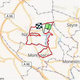
Ruta Bici de montaña de 16 km a descubrir en Occitania, Alto-Garona, Nailloux. Esta ruta ha sido propuesta por tracegps.
Descripción
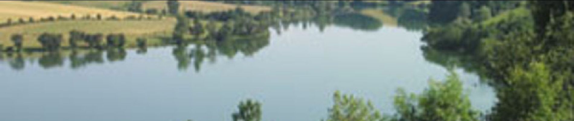
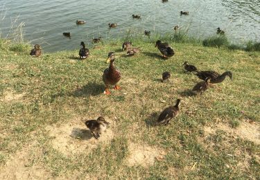
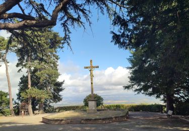
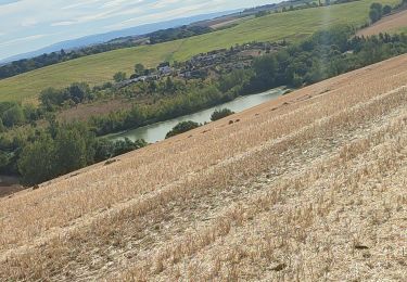
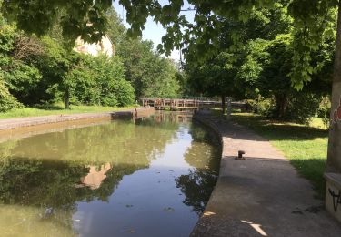
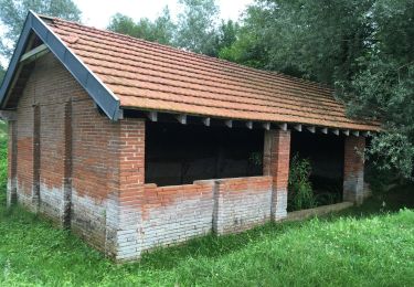
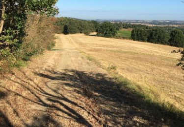
Circuit au départ du lac, à l'opposé de la Ferme de Champreux. Il fait le tour du lac en grande partie, puis rejoint Montgeard par les coteaux. Il redescend sur le lac et rejoins le village de Nailloux pour partir sur les versants opposé au lac puis rejoindre le point de départ en passant de nouveau par les rives du lac. Bonne balade.
Localización
Comentarios
Excursiones cerca
![Excursión Senderismo Nailloux - Les deux bastides Royales - Photo](https://media.geolcdn.com/t/375/260/1cae95bd-c33e-4011-91c6-191434188286.jpg&format=jpg&maxdim=2)
![Senderismo Senderismo](https://static1.geolcdn.com/sitytour/trail-icons/101.png)
Senderismo
![](/images/other/stat-length.png)
![](https://static1.geolcdn.com/siteimages/upload/files/16400158638029165_repeat_loop_refresh_sync_direction_icon.png)
![Excursión Senderismo Gardouch - Canal du Midi - Photo](https://media.geolcdn.com/t/375/260/d8458df4-0ea1-46aa-a903-e9cd0d9f4c56.jpg&format=jpg&maxdim=2)
![Senderismo Senderismo](https://static1.geolcdn.com/sitytour/trail-icons/101.png)
Senderismo
![](/images/other/stat-length.png)
![](https://static1.geolcdn.com/siteimages/upload/files/16400158638029165_repeat_loop_refresh_sync_direction_icon.png)
![Excursión Senderismo Montgeard - Mongeard et le lac - Photo](https://media.geolcdn.com/t/375/260/1fe943b5-f9cb-424c-828b-6b976dc0d91f.jpg&format=jpg&maxdim=2)
![Senderismo Senderismo](https://static1.geolcdn.com/sitytour/trail-icons/101.png)
Senderismo
![](/images/other/stat-length.png)
![](https://static1.geolcdn.com/siteimages/upload/files/16400158638029165_repeat_loop_refresh_sync_direction_icon.png)
![Excursión Senderismo Montgeard - Boucle autour de Montréal - Photo](https://media.geolcdn.com/t/375/260/af9ca54b-89ef-4214-b661-519f1fa6a78d.jpg&format=jpg&maxdim=2)
![Senderismo Senderismo](https://static1.geolcdn.com/sitytour/trail-icons/101.png)
Senderismo
![](/images/other/stat-length.png)
![](https://static1.geolcdn.com/siteimages/upload/files/16400158638029165_repeat_loop_refresh_sync_direction_icon.png)
![Excursión Senderismo Montgeard - lac - Photo](https://media.geolcdn.com/t/375/260/3e9e31c4-aa7d-40c3-95d5-e6b62431a5f2.jpg&format=jpg&maxdim=2)
![Senderismo Senderismo](https://static1.geolcdn.com/sitytour/trail-icons/101.png)
![Excursión Senderismo Gardouch - Le canal du Midi - Photo](https://media.geolcdn.com/t/375/260/af9bcfd4-c626-4ab8-94b1-1fbe54078c4c.jpg&format=jpg&maxdim=2)
![Senderismo Senderismo](https://static1.geolcdn.com/sitytour/trail-icons/101.png)
Senderismo
![](/images/other/stat-length.png)
![](https://static1.geolcdn.com/siteimages/upload/files/16400158638029165_repeat_loop_refresh_sync_direction_icon.png)
![Excursión Senderismo Nailloux - Nailloux - Photo](https://media.geolcdn.com/t/375/260/50801882-1002-4524-a1b4-9b797a455e95.jpg&format=jpg&maxdim=2)
![Senderismo Senderismo](https://static1.geolcdn.com/sitytour/trail-icons/101.png)
Senderismo
![](/images/other/stat-length.png)
![](https://static1.geolcdn.com/siteimages/upload/files/16400158638029165_repeat_loop_refresh_sync_direction_icon.png)
![Excursión Senderismo Gardouch - Les Collines du Lauragais - Photo](https://media.geolcdn.com/t/375/260/0a95eafd-6ea3-4caa-86c2-d396d6c9c7af.jpg&format=jpg&maxdim=2)
![Senderismo Senderismo](https://static1.geolcdn.com/sitytour/trail-icons/101.png)
Senderismo
![](/images/other/stat-length.png)
![](https://static1.geolcdn.com/siteimages/upload/files/16400158638029165_repeat_loop_refresh_sync_direction_icon.png)
![Excursión Senderismo Gardouch - Canal du Midi - Ecluse de Laval - En Cassan - Photo](https://media.geolcdn.com/t/375/260/ext.jpg?maxdim=2&url=https%3A%2F%2Fservices.sitytrail.com%2FGeolivesWS%2FDownloadMedia.ashx%3FTrailID%3D108630%26Media%3D1540_1.jpg)
![Senderismo Senderismo](https://static1.geolcdn.com/sitytour/trail-icons/101.png)
Senderismo
![](/images/other/stat-length.png)
![](https://static1.geolcdn.com/siteimages/upload/files/16400158638029165_repeat_loop_refresh_sync_direction_icon.png)