


12,6 km | 15,8 km-effort


Usuario


Aplicación GPS de excursión GRATIS
 SityTrail
IGN / Institutos geográficos
SityTrail World
El mundo es suyo
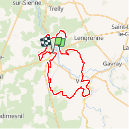
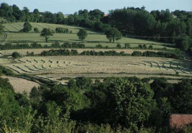
Ruta Bici de montaña de 33 km a descubrir en Normandía, Mancha, Cérences. Esta ruta ha sido propuesta por tracegps.
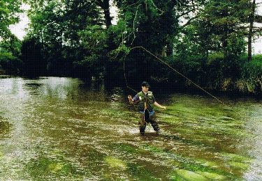
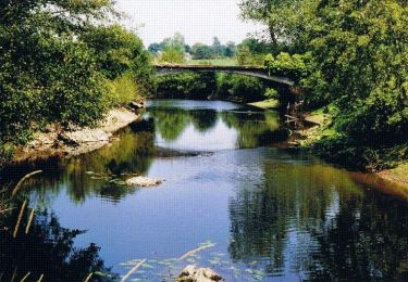
Circuit balisé, nécessitant un bon état physique. Très sympa, à faire de préférence par temps sec pour éviter d'avoir à traverser quelques piscines...
Senderismo
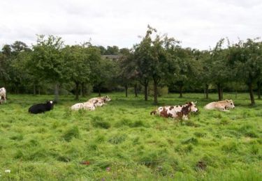
Bici de montaña
Senderismo
Senderismo
Senderismo
Senderismo

Senderismo
Senderismo

Senderismo