


24 km | 30 km-effort

Usuario


Aplicación GPS de excursión GRATIS
 SityTrail
IGN / Institutos geográficos
SityTrail World
El mundo es suyo
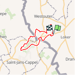
Ruta Senderismo de 9,9 km a descubrir en Flandes, Flandes Occidental, Heuvelland. Esta ruta ha sido propuesta por tracegps.
Procurez vous si possible à l'O.T. de Kemmel la carte du réseau pédestre des 'Monts de Flandre'. La balade proposée suit les balises : 38 - 23 - 22 - 21 - 14 - 8 - 9 - 5 - 4 - 10 - 95 - 11 - 99 - 1 - 2 - 3 - 4 - 94 - 93 - 12 - 13 - 39 - 38


Senderismo

Senderismo

A pie
A pie

A pie

Senderismo

Senderismo

Senderismo
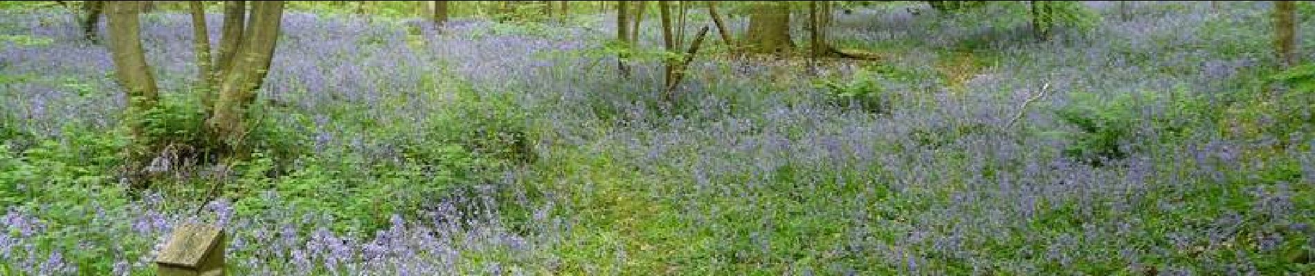
Superbe randonnée