


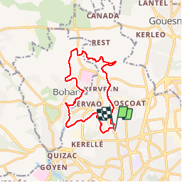

10,8 km | 13,2 km-effort


Usuario


Aplicación GPS de excursión GRATIS
 SityTrail
IGN / Institutos geográficos
SityTrail World
El mundo es suyo
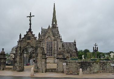
Ruta Otra actividad de 13,1 km a descubrir en Bretaña, Finisterre, Brest. Esta ruta ha sido propuesta por jmboucher.
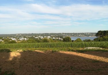
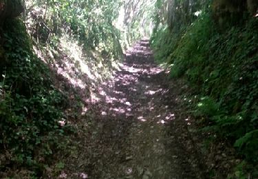
entre Lambezellec et Bohars dans la vallée du Restic, le long de la Penfeld et la vallée des moulins en passant par la motte féodale et l'ancienne gare de Bohars

Senderismo

Bici de montaña

Marcha nórdica
Senderismo

Senderismo
Senderismo
Senderismo
Senderismo