


18,6 km | 25 km-effort


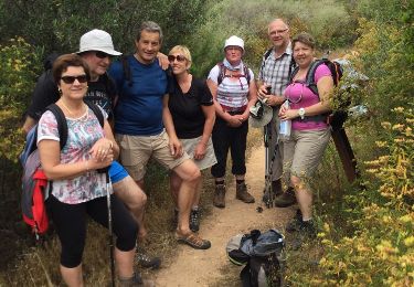
Usuario


Aplicación GPS de excursión GRATIS
 SityTrail
IGN / Institutos geográficos
SityTrail World
El mundo es suyo
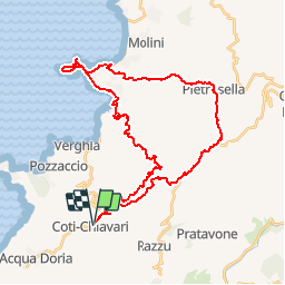
Ruta Bici de montaña de 43 km a descubrir en Córcega, Córcega del Sur, Coti-Chiavari. Esta ruta ha sido propuesta por tracegps.
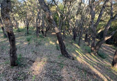
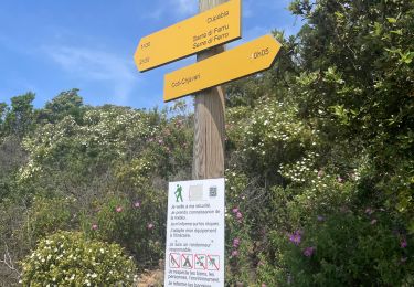
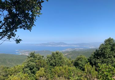
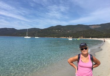
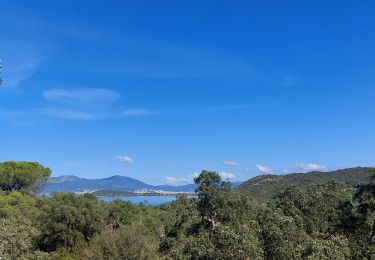
Cette boucle va vous permettre de découvrir la jolie Forêt de Coti-Chiavari et de découvrir de magnifiques points de vue sur le Golfe d'Ajaccio. Passage au Capu di Sette Nave et Isolella où se succèdent les plages de sable fin. La remontée par Pietrosella est difficile et quelques zones de portage (très courtes cependant) sont à prévoir. Le retour de Pietrosella jusqu'à Coti-Chaivari se fait sur la route à travers une nature sauvage. Par temps découvert, grosse suée à prévoir. Penser à vous à emmener beaucoup d'eau surtout que la partie la plus exposée est justement le remontée à Pietrosella. La boucle est peut être plus facile dans l'autre sens car la remontée à Coti-Chiavari est beaucoup plus douce...mais beaucoup plus longue aussi!
Senderismo
Senderismo
Senderismo
Senderismo
Senderismo
Senderismo
Senderismo
Senderismo
Senderismo