


10 km | 11,3 km-effort

Usuario


Aplicación GPS de excursión GRATIS
 SityTrail
IGN / Institutos geográficos
SityTrail World
El mundo es suyo
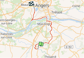
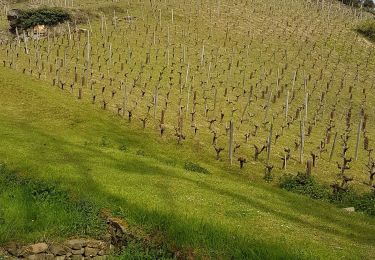
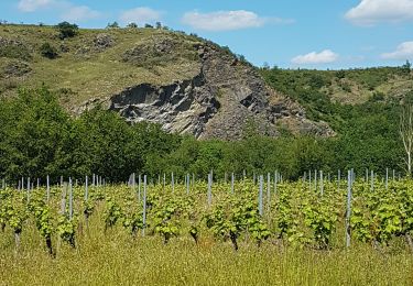
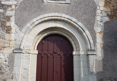
Ruta Bici de montaña de 41 km a descubrir en Países del Loira, Maine-y-Loira, Bellevigne-en-Layon. Esta ruta ha sido propuesta por tracegps.
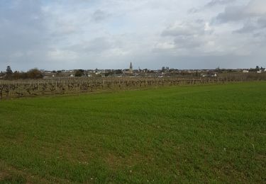
Circuit VTT facile entre Angers et Rablay sur Layon en suivant tout d'abord la Maine puis la Loire jusqu'au Pont de Cé. Le parcours passe par Juigné sur Loire puis Saint Melaine sur Aubance, Beaulieu sur Layon pour se terminer au pont de Rablay.

Senderismo
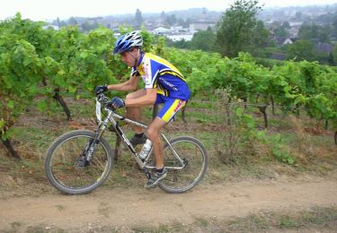
Bici de montaña

Senderismo
Senderismo
A pie
Senderismo
Senderismo
A pie
Senderismo