


12,1 km | 24 km-effort


Usuario


Aplicación GPS de excursión GRATIS
 SityTrail
IGN / Institutos geográficos
SityTrail World
El mundo es suyo
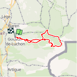
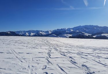
Ruta Senderismo de 14,1 km a descubrir en Occitania, Alto-Garona, Gouaux-de-Luchon. Esta ruta ha sido propuesta por tracegps.
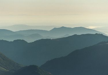
Montée régulière sur chemin- Descente sur crête. Un passage rocheux, sans difficulté, qu'on peut contourner aisément.

Senderismo

Senderismo

Senderismo

Senderismo
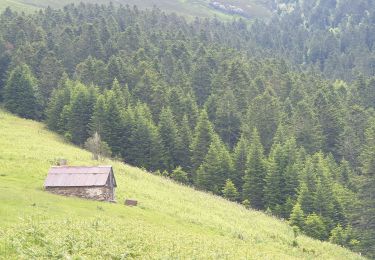
Senderismo
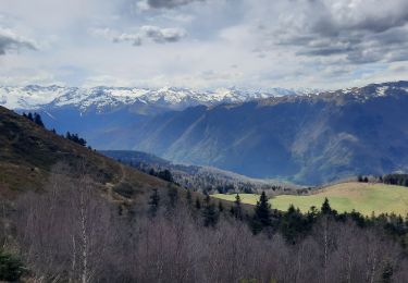
Senderismo
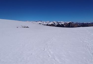
Senderismo
A pie
Senderismo