


14,1 km | 29 km-effort

Usuario


Aplicación GPS de excursión GRATIS
 SityTrail
IGN / Institutos geográficos
SityTrail World
El mundo es suyo
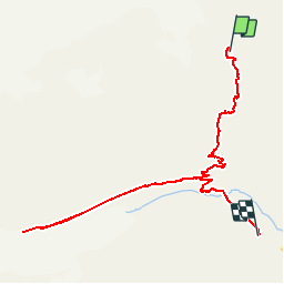
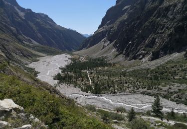
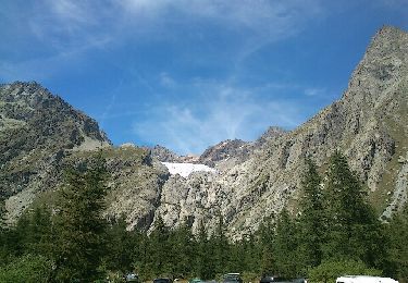
Ruta Senderismo de 9 km a descubrir en Provenza-Alpes-Costa Azul, Altos Alpes, Vallouise-Pelvoux. Esta ruta ha sido propuesta por tracegps.
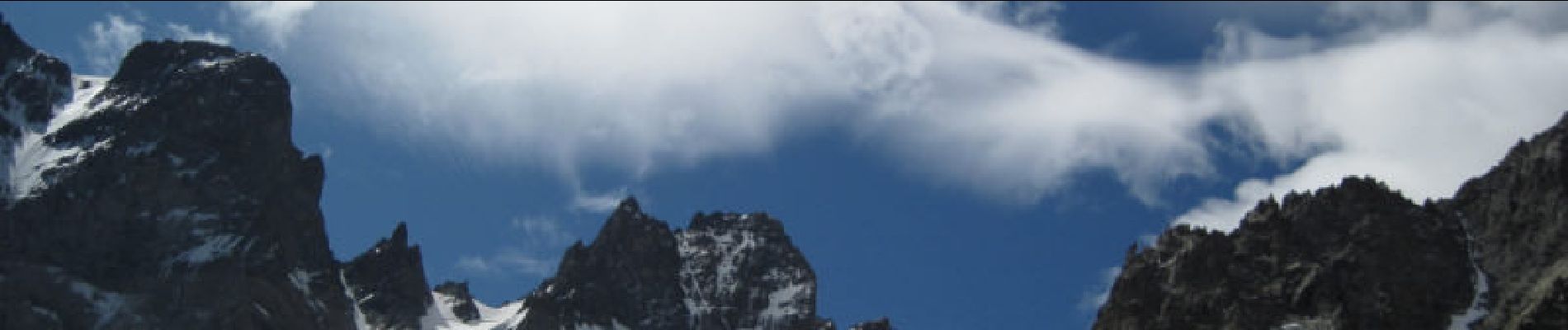
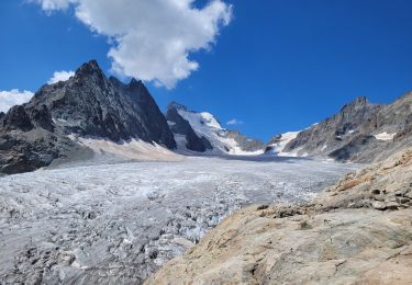
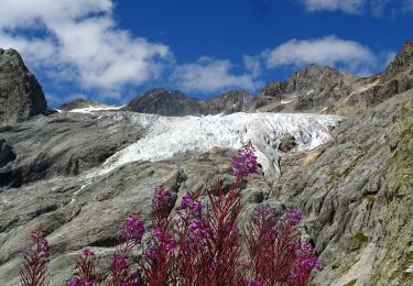
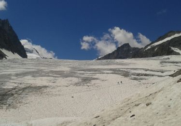
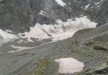
Descente du refuge du Glacier Blanc vers le Glacier Noir. Attention, sentier très étroit, risque de chute ! Puis redescendre sur le refuge Cézanne.


Senderismo
Senderismo
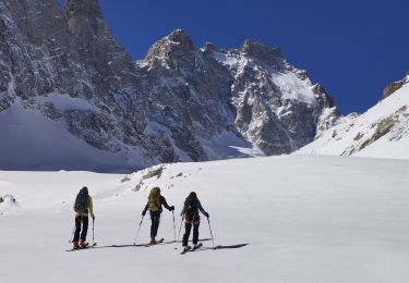
Esquí de fondo
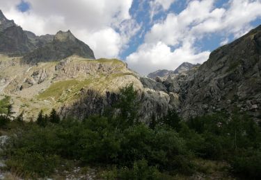
Senderismo
Senderismo
Senderismo
Senderismo
Senderismo
Senderismo