


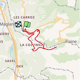


7,7 km | 14,1 km-effort

Usuario


Aplicación GPS de excursión GRATIS
 SityTrail
IGN / Institutos geográficos
SityTrail World
El mundo es suyo
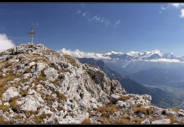
Ruta Senderismo de 11,2 km a descubrir en Auvergne-Rhône-Alpes, Alta Saboya, Arâches-la-Frasse. Esta ruta ha sido propuesta por tracegps.
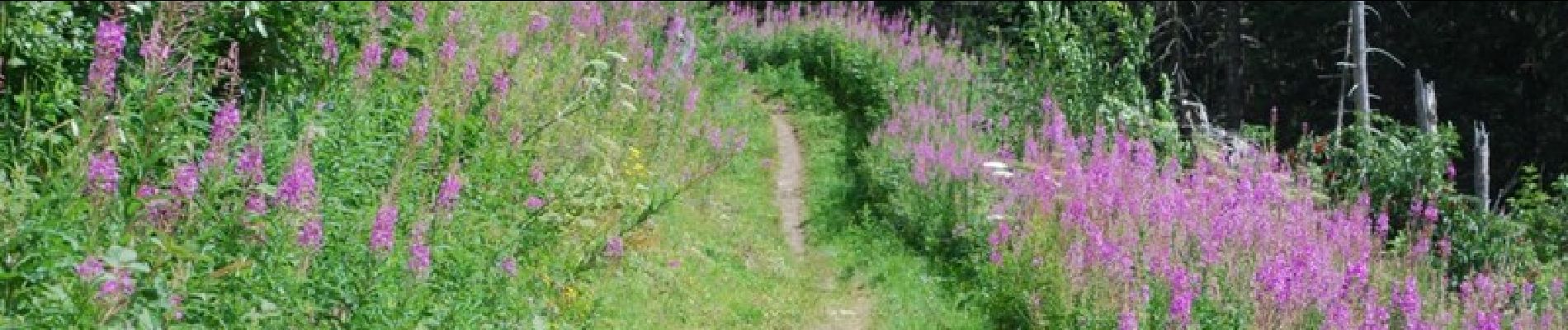
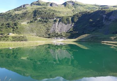
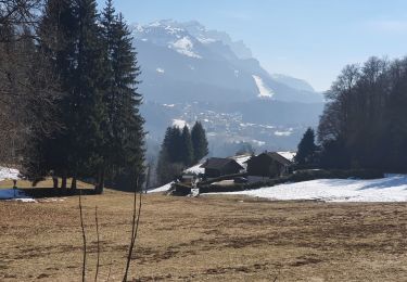
Un bonne petite balade qui peut être entreprise en famille. On monte jusqu'au lac et on redescend avec, aux trois quart du parcours une bonne surprise générée par un artiste du coin, à voir...


Senderismo
Senderismo
Senderismo
Senderismo

Senderismo

Senderismo

Senderismo

Senderismo

Senderismo