


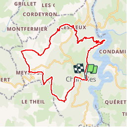

11,4 km | 15,2 km-effort


Usuario


Aplicación GPS de excursión GRATIS
 SityTrail
IGN / Institutos geográficos
SityTrail World
El mundo es suyo
Ruta Senderismo de 19,1 km a descubrir en Auvergne-Rhône-Alpes, Loira, Chambles. Esta ruta ha sido propuesta por tracegps.
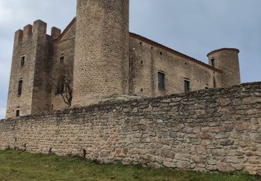
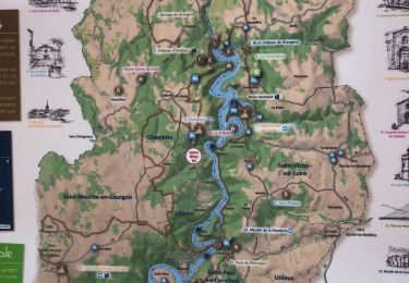
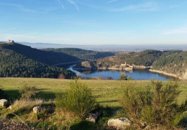
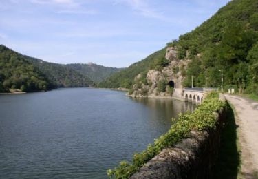
Située au milieu des gorges de la Loire, sur la rive gauche du fleuve, la commune de Chambles est un des sites les plus connus et attirants du département. Ce petit bourg a su préserver son caractère féodal qui lui donne toute son originalité. Surplombant les gorges de la Loire, le village de Chambles jouit d'une situation géographique remarquable et d'un panorama exceptionnel. Chambles est constitué de nombreux hameaux où se côtoient exploitations agricoles et résidences principales de citadins à la recherche d'air pur et d'espace. (source Wikipedia)
Senderismo
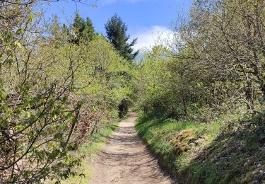
Senderismo
Senderismo

Senderismo
Senderismo
Senderismo
Caballo
Senderismo

Caballo