


8,7 km | 11,4 km-effort

Usuario


Aplicación GPS de excursión GRATIS
 SityTrail
IGN / Institutos geográficos
SityTrail World
El mundo es suyo
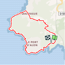
Ruta Senderismo de 9,4 km a descubrir en Provenza-Alpes-Costa Azul, Var, Saint-Cyr-sur-Mer. Esta ruta ha sido propuesta por tracegps.
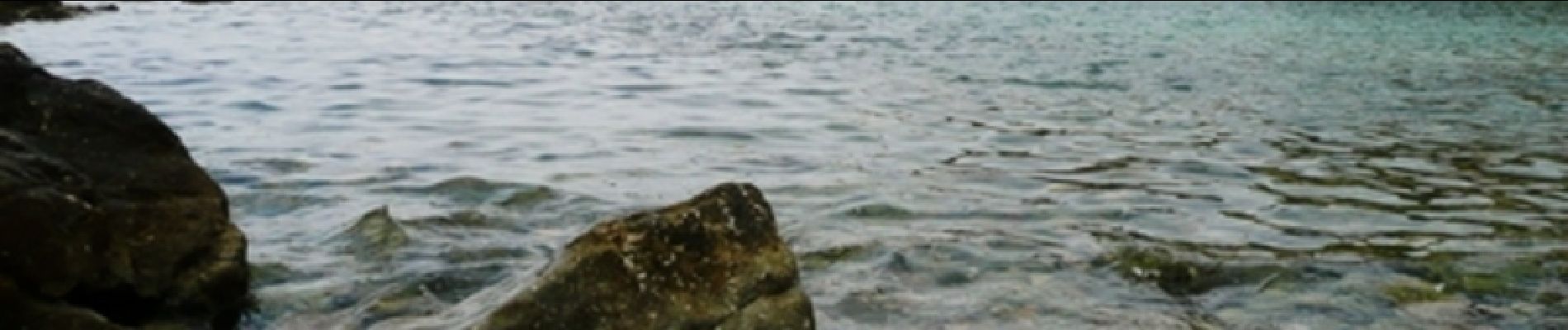
Très belle randonnée avec vue sur mer. Sentier accessible à pied uniquement le long de la cote.La partie à l'intérieur des terres suit un chemin balisé avec des panneaux informatifs sur l'endroit. Difficulté niveau 4. Retrouvez d’autres informations sur le site de Rando Loisirs à Carnoux en Provence.


Senderismo

Senderismo

Senderismo

Senderismo

Senderismo

A pie

Senderismo
Senderismo

Senderismo
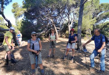
Très belle balade.