


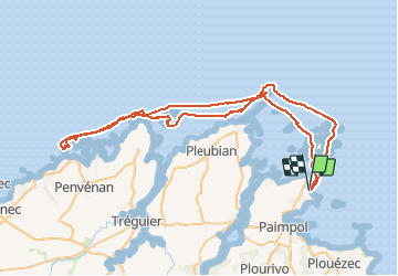

11,9 km | 13,8 km-effort


Usuario


Aplicación GPS de excursión GRATIS
 SityTrail
IGN / Institutos geográficos
SityTrail World
El mundo es suyo
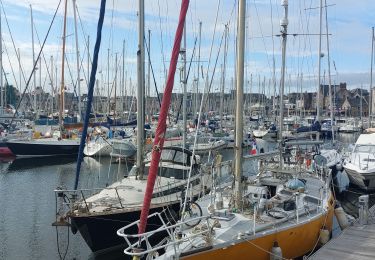
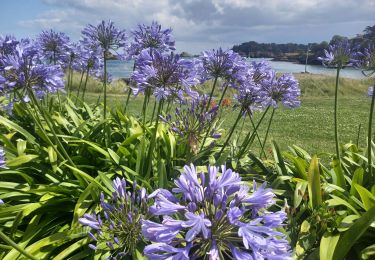
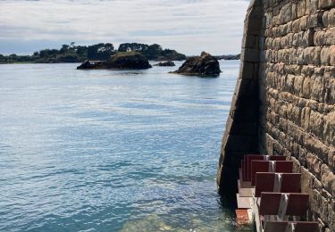
Ruta Otra actividad de 75 km a descubrir en Bretaña, Côtes-d'Armor, Ploubazlanec. Esta ruta ha sido propuesta por tracegps.
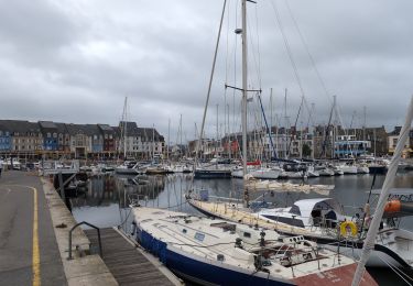
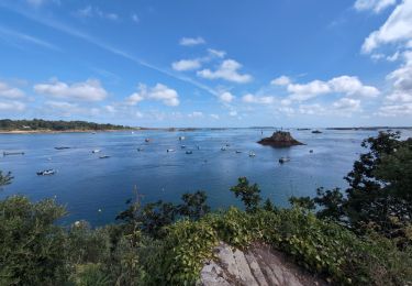
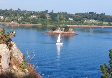
bonjour, Circuit très intéressant par la variété des paysages. Il nécessite un peu de condition physique pour tenir la distance et je dois dire que j'étais vanné à la fin de la première journée. PS: on a vu un phoque


Senderismo
Senderismo
Senderismo

Senderismo
Senderismo
Senderismo

Senderismo
Senderismo
Senderismo