


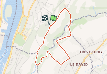


6,5 km | 10,7 km-effort


Usuario


Aplicación GPS de excursión GRATIS
 SityTrail
IGN / Institutos geográficos
SityTrail World
El mundo es suyo
Ruta Senderismo de 4,4 km a descubrir en Auvergne-Rhône-Alpes, Métropole de Lyon, Fleurieu-sur-Saône. Esta ruta ha sido propuesta por tracegps.
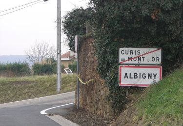
Départ du cimetière. Vous voulez grimper, les côtes ne sont pas mal, surtout la dernière de la boucle.

Senderismo

Bici de montaña

Paseo ecuestre
Paseo ecuestre
Paseo ecuestre
Paseo ecuestre
Paseo ecuestre
Paseo ecuestre
A pie