


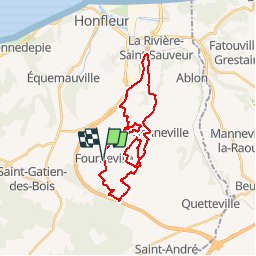

21 km | 27 km-effort

Usuario


Aplicación GPS de excursión GRATIS
 SityTrail
IGN / Institutos geográficos
SityTrail World
El mundo es suyo
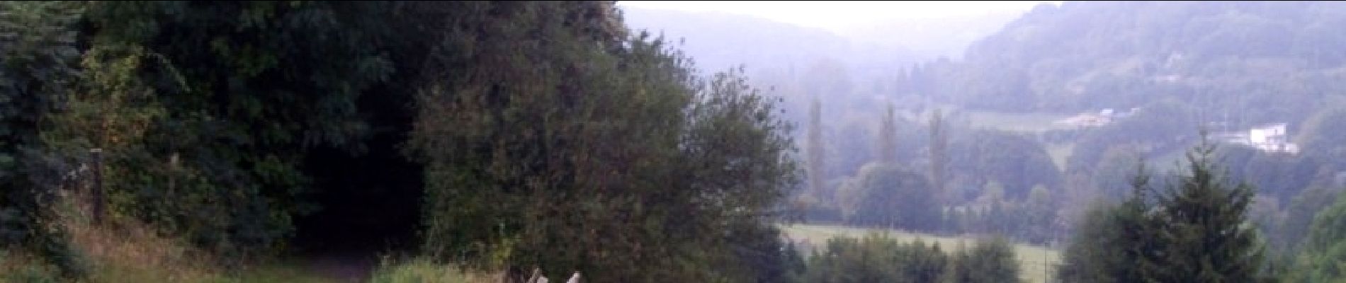
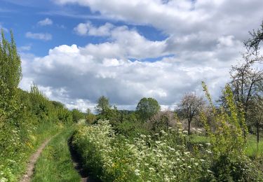
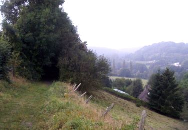
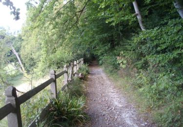
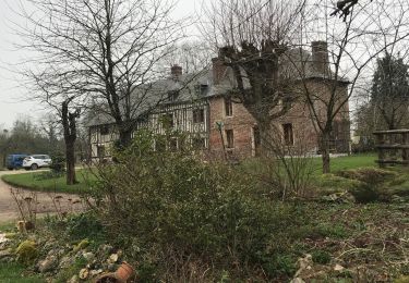
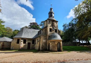
Ruta Bici de montaña de 26 km a descubrir en Normandía, Calvados, Fourneville. Esta ruta ha sido propuesta por tracegps.
Encore une fois parcours superbe, assez facile pour les vététistes. kiff: 6 paysages: 8 crampe : 5 technique : 4


Senderismo
A pie
Senderismo

A pie
Senderismo

Bici de montaña
Senderismo
Bicicleta híbrida
Senderismo