


18,8 km | 24 km-effort

Usuario


Aplicación GPS de excursión GRATIS
 SityTrail
IGN / Institutos geográficos
SityTrail World
El mundo es suyo
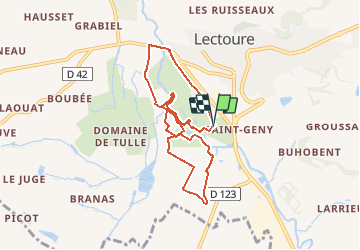
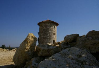
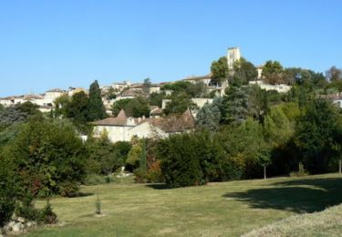
Ruta Bici de montaña de 8 km a descubrir en Occitania, Gers, Lectoure. Esta ruta ha sido propuesta por tracegps.
Espace VTT FFC Vallons du Lectourois cœur de Gascogne - Lectoure - Circuit n°2. Circuit officiel labellisé par la Fédération Française de Cyclisme. De vallées en coteaux avec de petites montées raides pour atteindre les plateaux calcaires, tous les Vététistes trouveront des circuits à leurs goût et profiteront des couleurs de la Toscane Gersoise qui changent au fil des jours et des travaux agricoles. Ce circuit est un itinéraire de base. Le départ se situe derrière le stade près des terrains d'entraînement pour rejoindre les bords du Gers. Circuit numérisé par la Communauté de Communes de la Lomagne Gersoise.

Senderismo
Senderismo
Senderismo

Senderismo
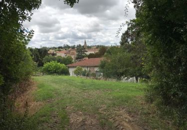
Senderismo
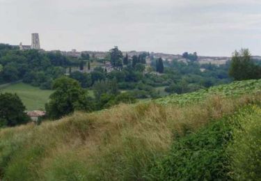
Senderismo
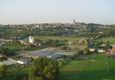
Senderismo
Senderismo

Senderismo