


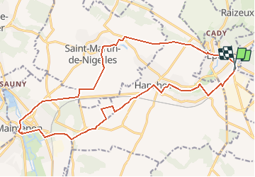

11,6 km | 13,8 km-effort


Usuario


Aplicación GPS de excursión GRATIS
 SityTrail
IGN / Institutos geográficos
SityTrail World
El mundo es suyo
Ruta Senderismo de 21 km a descubrir en Centro, Eure-y-Loir, Épernon. Esta ruta ha sido propuesta por tracegps.
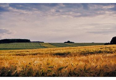
Circuit à travers la Beauce et ses immenses champs de blé et autres. A mi-chemin Château de Maintenon. A éviter par très forte chaleur.

Senderismo
Senderismo

Senderismo
Senderismo

Senderismo
Senderismo
Senderismo