


22 km | 25 km-effort

Usuario


Aplicación GPS de excursión GRATIS
 SityTrail
IGN / Institutos geográficos
SityTrail World
El mundo es suyo
Ruta Bici de montaña de 37 km a descubrir en Países del Loira, Vandea, Nieul-le-Dolent. Esta ruta ha sido propuesta por tracegps.
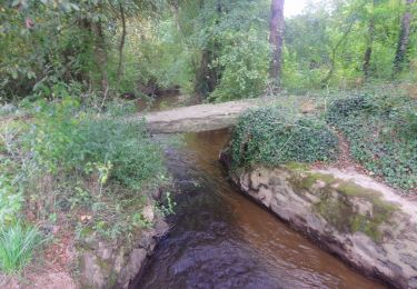
Circuit perso. Beaucoup de bonheur. Attention, quelques passages de gué très humides (passerelles possibles). Essayez le !


Senderismo
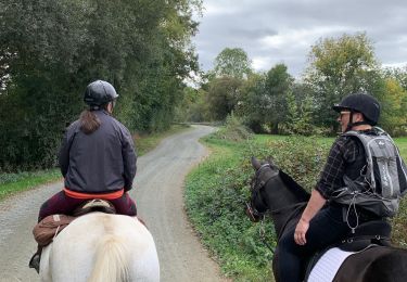
Paseo ecuestre

Senderismo

A pie

Bici de montaña
Senderismo
Senderismo
A pie

