


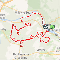

18,3 km | 23 km-effort


Usuario


Aplicación GPS de excursión GRATIS
 SityTrail
IGN / Institutos geográficos
SityTrail World
El mundo es suyo
Ruta Bici de montaña de 51 km a descubrir en Gran Este, Meurthe y Mosela, Sexey-aux-Forges. Esta ruta ha sido propuesta por tracegps.
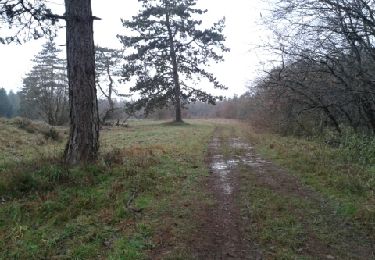
Magnifique randonnée organisé par FOYER RURAL VTT SEXEY AUX FORGES le 03 mai 2009 52 Kms que dans les bois sur de magnifiques chemins et sentiers.

Senderismo
Senderismo

Senderismo
Senderismo
Senderismo
Senderismo
Senderismo
Senderismo
Senderismo