


5 km | 5,5 km-effort


Usuario


Aplicación GPS de excursión GRATIS
 SityTrail
IGN / Institutos geográficos
SityTrail World
El mundo es suyo
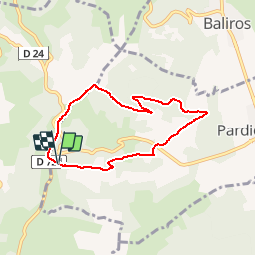
Ruta Senderismo de 6,5 km a descubrir en Nueva Aquitania, Pirineos-Atlánticos, Pardies-Piétat. Esta ruta ha sido propuesta por tracegps.
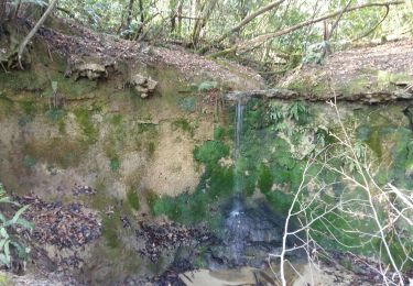
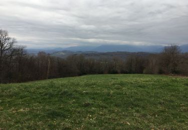
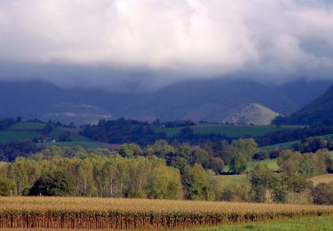
Par beau temps, très belle vue au départ sur la chaîne des Pyrénées avec une table d'orientation. Puis la ballade traverse des bois et des prés avant de remonter sur la crête où le panorama est superbe. Accès à Pardies-Pietat depuis Pau par la rive gauche du gave, puis montée à Notre-Dame de Pietat (c'est indiqué)


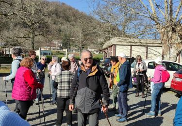
Senderismo
Senderismo
Senderismo
Otra actividad
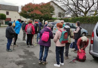
Senderismo
Senderismo

Senderismo
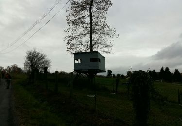
Senderismo
Senderismo
difficulté moyenne, manque de precision dans le balisage