


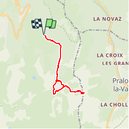


11,4 km | 24 km-effort


Usuario


Aplicación GPS de excursión GRATIS
 SityTrail
IGN / Institutos geográficos
SityTrail World
El mundo es suyo
Ruta Senderismo de 12,7 km a descubrir en Auvergne-Rhône-Alpes, Saboya, Courchevel. Esta ruta ha sido propuesta por tracegps.
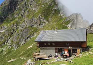
La randonnée commence simplement en empruntant une piste forestière au fond du Vallon des Avals. Au niveau du Chalet du Biol, ca commence à se compliquer où il faut emprunter un petit sentier bien tracé et balisé. Ensuite, il faut monter dans une pente raide et caillouteuse jusqu'au niveaux des brêches (car il y en a plusieurs en réalité). Une fois arrivé, vous vous sentirez tout petits, car entourés par des falaises verticales assez hautes. Attention aux enfants car la faute de pas ne pardonne pas ! Attention aussi aux cailloux qui pourraient débarouler à cause des personnes à l'amont de vous dans le pierrier

Senderismo

Senderismo

Senderismo

Senderismo

Senderismo
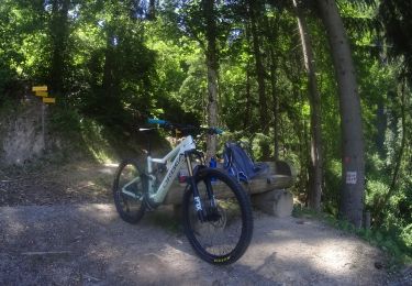
Bici de montaña
Senderismo

Senderismo
Senderismo