


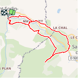

9,4 km | 13,1 km-effort


Usuario


Aplicación GPS de excursión GRATIS
 SityTrail
IGN / Institutos geográficos
SityTrail World
El mundo es suyo
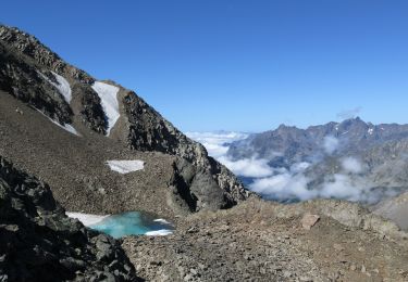
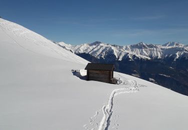
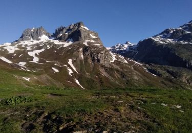
Ruta Senderismo de 10,4 km a descubrir en Auvergne-Rhône-Alpes, Saboya, Saint-Sorlin-d'Arves. Esta ruta ha sido propuesta por Isabelle07.
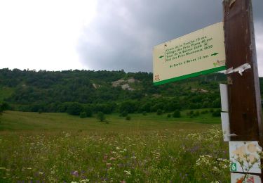
Sentier découverte
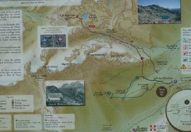
Fromagerie des Arves
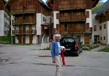
Un passage sur route goudronnée
Senderismo
Marcha nórdica
Senderismo
Senderismo
Esquí de fondo
Esquí de fondo
Esquí de fondo
Raquetas de nieve
Esquí de fondo