


11 km | 12,8 km-effort


Usuario


Aplicación GPS de excursión GRATIS
 SityTrail
IGN / Institutos geográficos
SityTrail World
El mundo es suyo
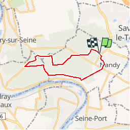
Ruta Senderismo de 10,1 km a descubrir en Isla de Francia, Sena y Marne, Nandy. Esta ruta ha sido propuesta por Surot.
randonnée facile de 10km de Nandy au pavillon royal puis sur petites routes puis chemins de la forêt. Très peu de dénivelé.

Senderismo
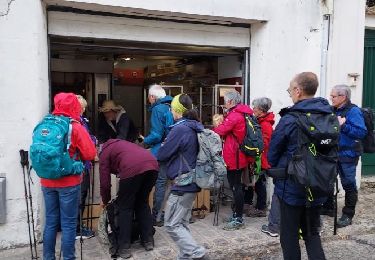
Senderismo

Senderismo
Senderismo

Carrera

A pie

Senderismo
Senderismo
Senderismo