


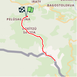

7,9 km | 13,4 km-effort

Usuario


Aplicación GPS de excursión GRATIS
 SityTrail
IGN / Institutos geográficos
SityTrail World
El mundo es suyo
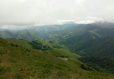
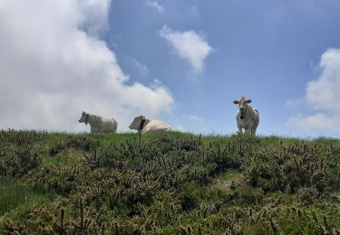
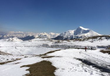
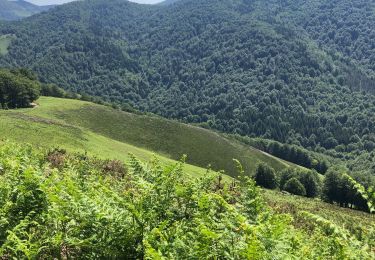
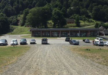
Ruta Senderismo de 13 km a descubrir en Nueva Aquitania, Pirineos-Atlánticos, Larrau. Esta ruta ha sido propuesta por tracegps.
Le pic d'Orhy est situé à la frontière franco-espagnole, entre la Soule pour les Pyrénées-Atlantiques et la communauté Forale de Navarre. C'est le point culminant de la Soule à 2 017 m d'altitude. Il est le premier " 2000 " des Pyrénées, en venant de l’océan Atlantique, et ses dimensions imposantes en font le géant des Pyrénées basques. De son sommet on aperçoit le golfe de Gascogne, le pic d'Anie et côté Béarn à l'est, les plus hauts sommets des Pyrénées. (source Wikipedia)

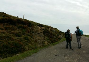
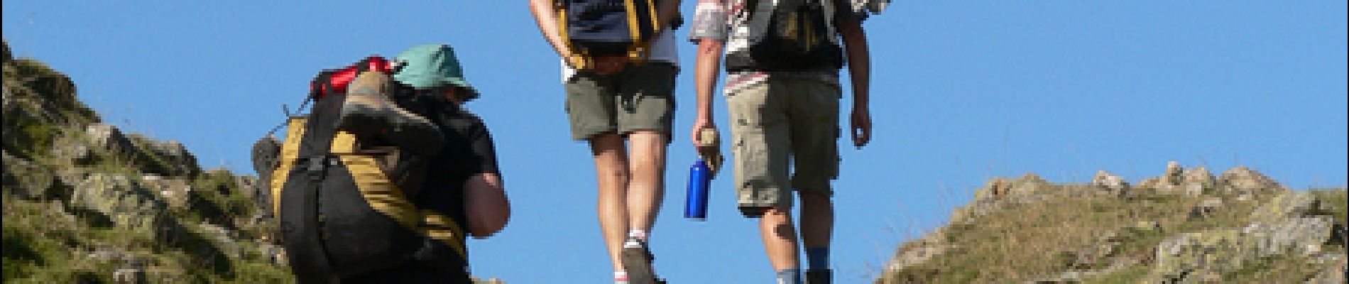
Senderismo
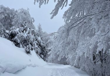
Senderismo
Senderismo
Senderismo

Senderismo
Senderismo
Senderismo

Senderismo
Senderismo