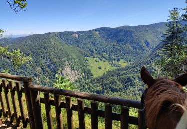
![](/images/other/stat-length.png)
![Excursión Bici de montaña Giron - Espace VTT FFC Entre Jura et Léman - Circuit n°09 - Tour des Belvèdères - Photo](https://media.geolcdn.com/t/1900/400/ext.pjpeg?maxdim=2&url=https%3A%2F%2Fservices.sitytrail.com%2FGeolivesWS%2FDownloadMedia.ashx%3FTrailID%3D102572%26Media%3D3468_1.jpg)
Espace VTT FFC Entre Jura et Léman - Circuit n°09 - Tour des Belvèdères
tracegps
Usuario
![Longitud](/images/other/stat-length.png)
![Altitud máxima](https://static1.geolcdn.com/siteimages/upload/files/1508320355ic_sort_altitude_max_24dp.png)
![Desnivel positivo](https://static1.geolcdn.com/siteimages/upload/files/1508320355ic_sort_den_pos_24dp.png)
![Km-Effort](/images/other/stat-length.png)
![Altitud mínima](https://static1.geolcdn.com/siteimages/upload/files/1508320355ic_sort_altitude_min_24dp.png)
![Desnivel negativo](https://static1.geolcdn.com/siteimages/upload/files/1508320355ic_sort_den_neg_24dp.png)
![Boucle](https://static1.geolcdn.com/siteimages/upload/files/16400158638029165_repeat_loop_refresh_sync_direction_icon.png)
![Bici de montaña](https://static1.geolcdn.com/sitytour/trail-icons/202.png)
1h15
Dificultad : Medio
![Escanee este código QR para abrir la excursión en la aplicación SityTrail](https://capi.geolives.com/qq0zvz2zws4bq2lad0pu/sitytour/trails/102572/qr.png?size=200)
Aplicación GPS de excursión GRATIS
A propósito
Ruta Bici de montaña de 15,1 km a descubrir en Auvergne-Rhône-Alpes, Ain, Giron. Esta ruta ha sido propuesta por tracegps.
Descripción
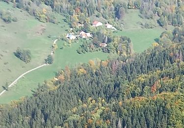
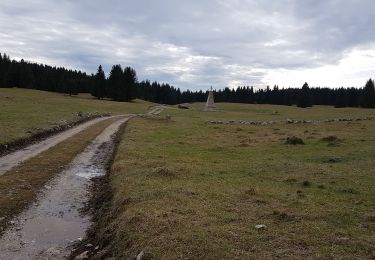
Espace VTT FFC Entre Jura et Léman Circuit officiel labellisé par la Fédération Française de Cyclisme. L'espace VTT FFC Pays de Gex Bellegarde regroupe 13 circuits VTT au départ de 5 sites, répartis sur tout le territoire. Multiples points de vue sur un parcours très varié. Attention à la dernière descente sur route. Pour tout renseignement sur la pratique du VTT sur le Pays de Gex-Bellegarde, contacter Bruno LADET à bladet chez ccpg point fr
Localización
Comentarios
Excursiones cerca
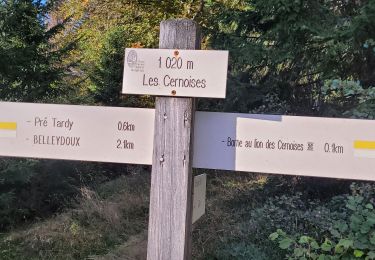
![Excursión Senderismo Échallon - prairie d'échallon belleydoux la borne aux lion des cernoises - Photo](https://media.geolcdn.com/t/375/260/da7a05d9-867e-415c-90dc-474e2d70cbe0.jpg&format=jpg&maxdim=2)
![Senderismo Senderismo](https://static1.geolcdn.com/sitytour/trail-icons/101.png)
Senderismo
![](/images/other/stat-length.png)
![](https://static1.geolcdn.com/siteimages/upload/files/16400158638029165_repeat_loop_refresh_sync_direction_icon.png)
![Excursión Senderismo Belleydoux - belleydoux roches d'orvaz - Photo](https://media.geolcdn.com/t/375/260/ext.jpg?maxdim=2&url=https%3A%2F%2Fstatic1.geolcdn.com%2Fsiteimages%2Fupload%2Ffiles%2F1553511878bg_sport_marche.png)
![Senderismo Senderismo](https://static1.geolcdn.com/sitytour/trail-icons/101.png)
Senderismo
![](/images/other/stat-length.png)
![](https://static1.geolcdn.com/siteimages/upload/files/16400158638029165_repeat_loop_refresh_sync_direction_icon.png)
![Excursión Senderismo Giron - giron - Photo](https://media.geolcdn.com/t/375/260/99f491d7-7281-4330-b0aa-0f336dca16fb.jpg&format=jpg&maxdim=2)
![Senderismo Senderismo](https://static1.geolcdn.com/sitytour/trail-icons/101.png)
![Excursión Raquetas de nieve Giron - giron - Photo](https://media.geolcdn.com/t/375/260/ffd83a0d-f23c-4dee-bfbc-162b2a4ae3d4.jpg&format=jpg&maxdim=2)
![Raquetas de nieve Raquetas de nieve](https://static1.geolcdn.com/sitytour/trail-icons/504.png)
Raquetas de nieve
![](/images/other/stat-length.png)
![](https://static1.geolcdn.com/siteimages/upload/files/16400158638029165_repeat_loop_refresh_sync_direction_icon.png)
![Excursión Senderismo Échallon - echallon - Photo](https://media.geolcdn.com/t/375/260/ext.jpg?maxdim=2&url=https%3A%2F%2Fstatic1.geolcdn.com%2Fsiteimages%2Fupload%2Ffiles%2F1553511878bg_sport_marche.png)
![Senderismo Senderismo](https://static1.geolcdn.com/sitytour/trail-icons/101.png)
Senderismo
![](/images/other/stat-length.png)
![](https://static1.geolcdn.com/siteimages/upload/files/16400158638029165_repeat_loop_refresh_sync_direction_icon.png)
![Excursión Senderismo Échallon - Echallon: moyenne Semine - Photo](https://media.geolcdn.com/t/375/260/faf68926-9cf8-4b3a-af75-0d8aa555f58d.jpg&format=jpg&maxdim=2)
![Senderismo Senderismo](https://static1.geolcdn.com/sitytour/trail-icons/101.png)
Senderismo
![](/images/other/stat-length.png)
![](https://static1.geolcdn.com/siteimages/upload/files/16400158638029165_repeat_loop_refresh_sync_direction_icon.png)
![Excursión Senderismo Échallon - Forêt d'Echallon, de Belleydoux - Photo](https://media.geolcdn.com/t/375/260/02785ae5-715e-48f3-ae7c-2ea4666ed26d.jpg&format=jpg&maxdim=2)
![Senderismo Senderismo](https://static1.geolcdn.com/sitytour/trail-icons/101.png)
Senderismo
![](/images/other/stat-length.png)
![](https://static1.geolcdn.com/siteimages/upload/files/16400158638029165_repeat_loop_refresh_sync_direction_icon.png)
![Excursión Senderismo Champfromier - Champfromier les avalanches - Photo](https://media.geolcdn.com/t/375/260/81128839-d6c8-4d06-8106-f2beb8952e7a.jpg&format=jpg&maxdim=2)
![Senderismo Senderismo](https://static1.geolcdn.com/sitytour/trail-icons/101.png)
Senderismo
![](/images/other/stat-length.png)
![](https://static1.geolcdn.com/siteimages/upload/files/16400158638029165_repeat_loop_refresh_sync_direction_icon.png)
![Excursión Paseo ecuestre Giron - 202205 rallye Ain J2 Giron-Lelex - Photo](https://media.geolcdn.com/t/375/260/0b51345d-7bed-4f2b-8b3d-0e1840dcbf67.jpg&format=jpg&maxdim=2)
![Paseo ecuestre Paseo ecuestre](https://static1.geolcdn.com/sitytour/trail-icons/301.png)
Paseo ecuestre
![](/images/other/stat-length.png)
![](https://static1.geolcdn.com/siteimages/upload/files/16400158638029165_repeat_loop_refresh_sync_direction_icon.png)