


5,7 km | 6,2 km-effort

Usuario


Aplicación GPS de excursión GRATIS
 SityTrail
IGN / Institutos geográficos
SityTrail World
El mundo es suyo
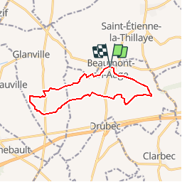
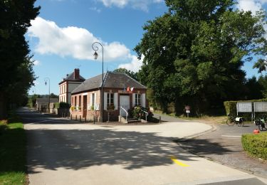
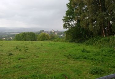
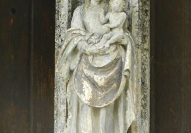
Ruta Senderismo de 11,2 km a descubrir en Normandía, Calvados, Beaumont-en-Auge. Esta ruta ha sido propuesta por tracegps.
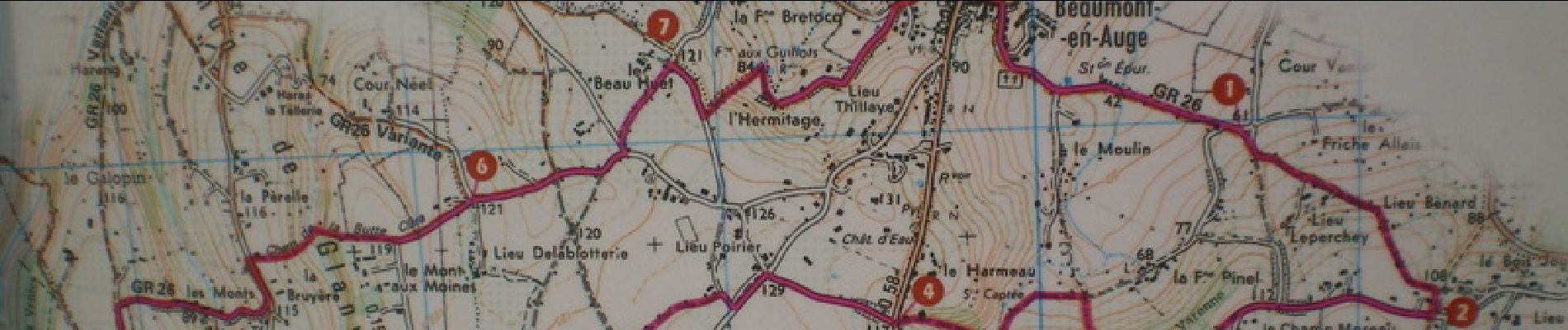
C'est en fait la retranscription d'une des 2 randonnées disponibles sur la panneau dédié à cet usage situé sur la place du village (à côté de la statue de Mr LaPlace). Je publie la photo que j'ai prise du panneau pour effectuer la retranscription. J'en profite pour proposer mes services aux lecteurs : Si vous avez des parcours à partager sur la basse Normandie et le calvados en particulier, mais que vous ne voulez pas, par manque de temps, trop difficile, etc.....


Senderismo
Senderismo
Senderismo
Senderismo
Bici eléctrica
Senderismo
Senderismo
Senderismo
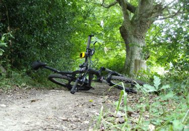
Bici de montaña
Belle Rando avec de beaux chemins et de belles propriétés