


14,7 km | 27 km-effort


Usuario


Aplicación GPS de excursión GRATIS
 SityTrail
IGN / Institutos geográficos
SityTrail World
El mundo es suyo
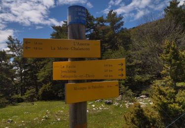
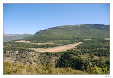
Ruta Bici de montaña de 17,1 km a descubrir en Auvergne-Rhône-Alpes, Drôme, La Motte-Chalancon. Esta ruta ha sido propuesta por tracegps.
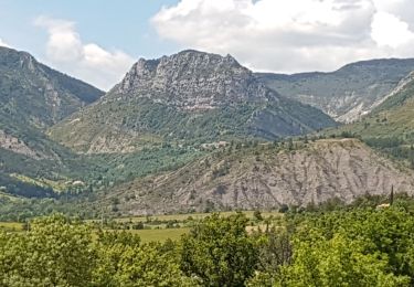
Grande Traversée des Préalpes, les Chemins du Soleil. Parcours officiel labellisé par la Fédération Française de Cyclisme. Variante sportive de Saillans à Montmorin. Parcours Saillans - Montmorin – Tronçon n° 41 Niveau: difficile, notamment l'ascension du pas du Pousterlou en début de parcours. Mesure de prudence: descente rapide sur piste avant Establet. Consultez toutes les informations sur les hébergements et les services associés sur la fiche du tronçon. Retrouvez cette traversée dans l’indispensable topo Guide Chamina Grande Traversée des Préalpes


Senderismo
Senderismo
Senderismo
Senderismo
Senderismo
Senderismo

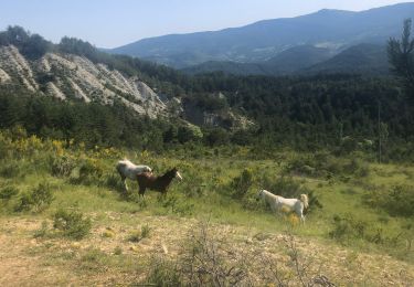
Caballo

Senderismo
Senderismo