


12,1 km | 21 km-effort


Usuario


Aplicación GPS de excursión GRATIS
 SityTrail
IGN / Institutos geográficos
SityTrail World
El mundo es suyo
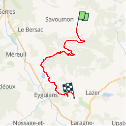
Ruta Bici de montaña de 22 km a descubrir en Provenza-Alpes-Costa Azul, Altos Alpes, Savournon. Esta ruta ha sido propuesta por tracegps.
Grande Traversée des Préalpes, les Chemins du Soleil. Parcours officiel labellisé par la Fédération Française de Cyclisme. Parcours Valence – Gap - Sisteron – Tronçon n° 35 Niveau: moyen avec une montée très raide avant les ruines d'Eyguians. Mesure de prudence: descente rapide avec de grosses ornières après les ruines de Ville-Vieille. Consultez toutes les informations sur les hébergements et les services associés sur la fiche du tronçon. Retrouvez cette traversée dans l’indispensable topo Guide Chamina Grande Traversée des Préalpes
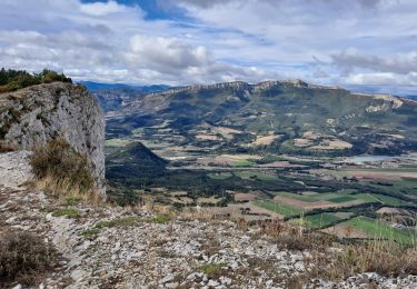
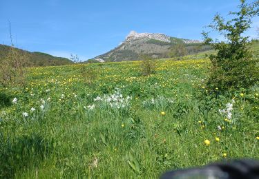
 - Arzeliers - Photo 1")
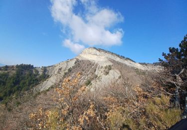
 - Arzeliers - Photo 2")
A pie

Senderismo

Senderismo
Senderismo
Senderismo
Senderismo
Senderismo
Senderismo
Senderismo