


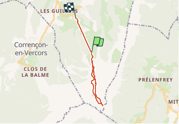

7,7 km | 13,8 km-effort

Usuario


Aplicación GPS de excursión GRATIS
 SityTrail
IGN / Institutos geográficos
SityTrail World
El mundo es suyo
Ruta Senderismo de 9,3 km a descubrir en Auvergne-Rhône-Alpes, Isère, Villard-de-Lans. Esta ruta ha sido propuesta por SabetMick.
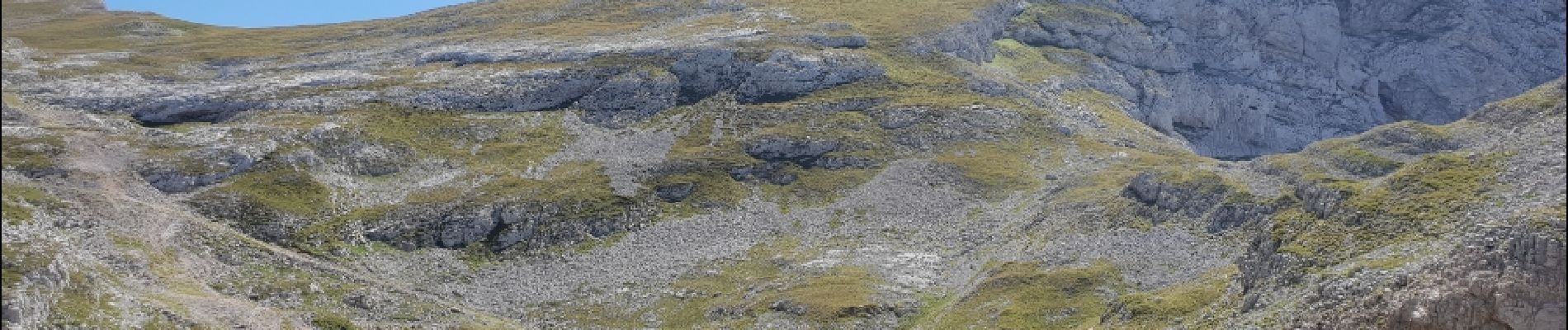
Superbe randonnée au départ des télécabines côtes 2000 en direction du col et en passant par le lac de la Moucherolle au retour.


Senderismo

Senderismo

Senderismo

Bici de montaña

Senderismo

Senderismo

Senderismo

Senderismo

Senderismo