


5,9 km | 8,2 km-effort

Usuario


Aplicación GPS de excursión GRATIS
 SityTrail
IGN / Institutos geográficos
SityTrail World
El mundo es suyo
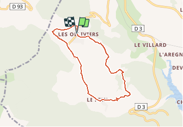
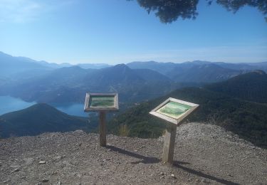
Ruta Bici de montaña de 7,2 km a descubrir en Provenza-Alpes-Costa Azul, Altos Alpes, Chorges. Esta ruta ha sido propuesta por tracegps.
Espace VTT FFC de Serre-Ponçon - Durance Circuit labellisé par la Fédération Française de Cyclisme. Départ depuis le hameau des Oliviers, au sud de Chorges. Montée pentue sur route goudronnée. Retour sur piste roulante. Parcours au milieu de la campagne Caturige reliant les hameaux des Oliviers et du Fein.


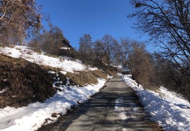
Senderismo

Senderismo

Senderismo

Senderismo
Senderismo
Senderismo
Senderismo
Paseo ecuestre
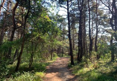
Senderismo