


10,8 km | 12,7 km-effort

Usuario


Aplicación GPS de excursión GRATIS
 SityTrail
IGN / Institutos geográficos
SityTrail World
El mundo es suyo
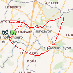
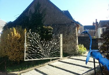
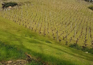
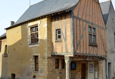
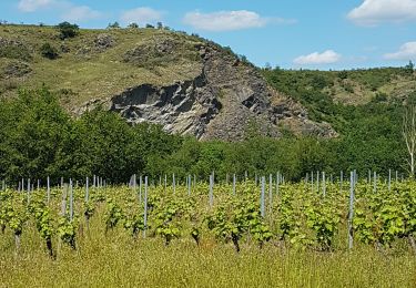
Ruta Bici de montaña de 17,6 km a descubrir en Países del Loira, Maine-y-Loira, Val-du-Layon. Esta ruta ha sido propuesta por tracegps.
Espace VTT - FFC des Coteaux du Layon Circuit labellisé par la Fédération Française de Cyclisme. Parcours offrant une diversité des paysages, tantôt forestiers, tantôt viticoles. L'Hyrôme, rivière de première catégorie, vive ou paisible nait au pied de la colline des Gardes. Elle possède la densité la plus forte des moulins du département.


Senderismo
Senderismo
Senderismo
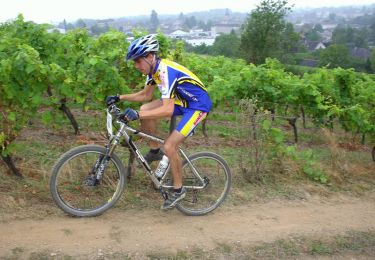
Bici de montaña

Senderismo
Senderismo
A pie
Senderismo
Senderismo