


12,2 km | 15 km-effort

Usuario


Aplicación GPS de excursión GRATIS
 SityTrail
IGN / Institutos geográficos
SityTrail World
El mundo es suyo
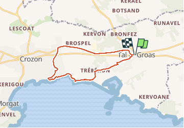
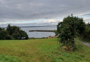
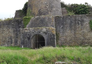
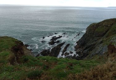
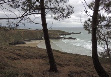
Ruta Senderismo de 12,2 km a descubrir en Bretaña, Finisterre, Crozon. Esta ruta ha sido propuesta por RonanDAGORN.
Très belle randonnée sur sa 1ère partie, malheureusement gâchée par un retour par la voie verte qui n'a plus de vert que le nom tellement elle est noire de bitume...
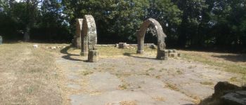
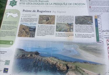
 - Photo 1")
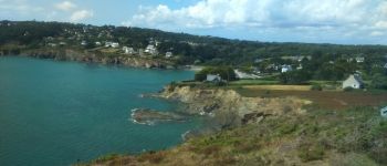
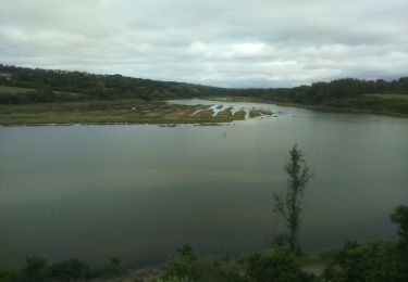
 - Photo 2")
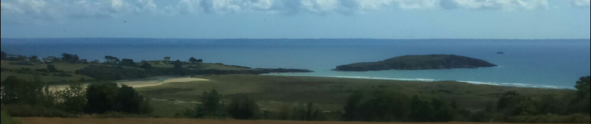
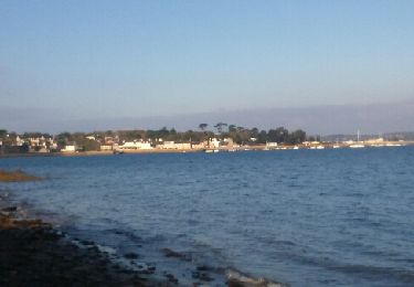
 - Photo 3")
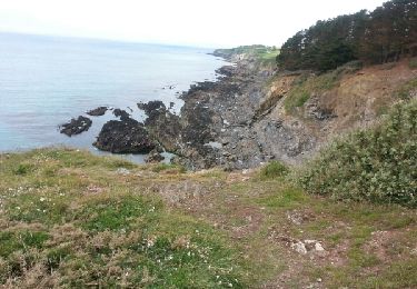
 - Photo 4")

A pie
Senderismo
Senderismo
Senderismo
Senderismo
Marcha nórdica
Senderismo
Senderismo
Senderismo