


11,4 km | 16,9 km-effort


Usuario


Aplicación GPS de excursión GRATIS
 SityTrail
IGN / Institutos geográficos
SityTrail World
El mundo es suyo
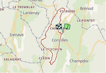
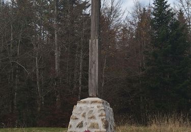
Ruta Senderismo de 13,8 km a descubrir en Auvergne-Rhône-Alpes, Ain, Champdor-Corcelles. Esta ruta ha sido propuesta por tracegps.
Espace VTT - FFC du Bugey no 38 Circuit labellisé par la Fédération Française de Cyclisme. Le relief de moyenne montagne du Plateau d’Hauteville permet tout naturellement la pratique du VTT. Des itinéraires accessibles à tous, du vététiste bucolique au plus sportif. Départ sur le parking du magasin « Servi Nature ». Parcours tracé par un passionné de VTT. Parcours technique et vallonné avec de nombreuses difficultés. Réservé aux amateurs de VTT ayant le goût de l’effort !


A pie
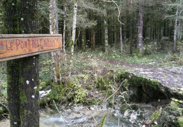
Senderismo
Senderismo

Senderismo
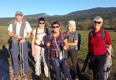
Senderismo

Bici de montaña
Senderismo
Senderismo
Senderismo