


6 km | 9,2 km-effort

Usuario


Aplicación GPS de excursión GRATIS
 SityTrail
IGN / Institutos geográficos
SityTrail World
El mundo es suyo
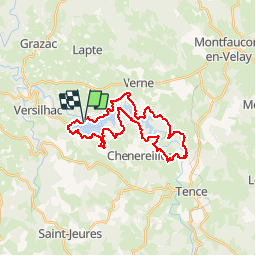
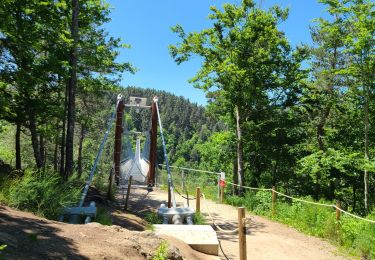
Ruta Bici de montaña de 28 km a descubrir en Auvergne-Rhône-Alpes, Alto Loira, Lapte. Esta ruta ha sido propuesta por tracegps.
Espace VTT FFC Le Velay des 3 Rivières Circuit labellisé par la Fédération Française de Cyclisme. Sur la berge ou en retrait de Lignon, ce circuit, qui présnete quelques difficultés, reste néanmoins accessible. Le topo-guide Chamina est en vente dans le réseau Chamina, dans les Offices de Tourisme du territoire et auprès du Syndicat d’Initiative.

Senderismo
Senderismo
Senderismo
Senderismo
Senderismo
Senderismo
Senderismo
Senderismo
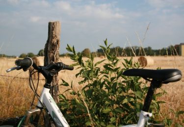
Bici de montaña
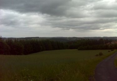
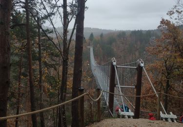
superbe Rando, manque juste le soleil, balisage ok