


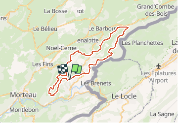

11,5 km | 18,8 km-effort

Usuario


Aplicación GPS de excursión GRATIS
 SityTrail
IGN / Institutos geográficos
SityTrail World
El mundo es suyo
Ruta Bici de montaña de 30 km a descubrir en Borgoña-Franco Condado, Doubs, Villers-le-Lac. Esta ruta ha sido propuesta por tracegps.
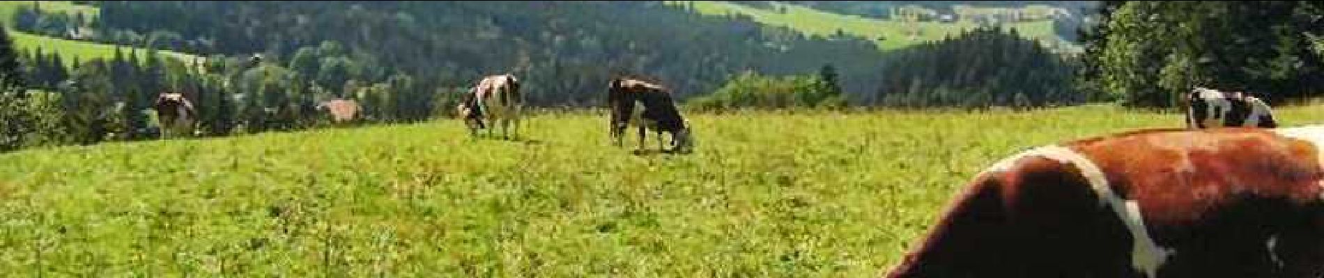
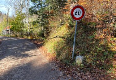
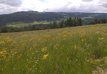
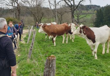
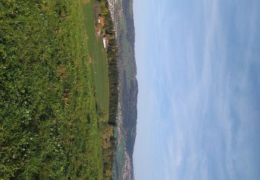
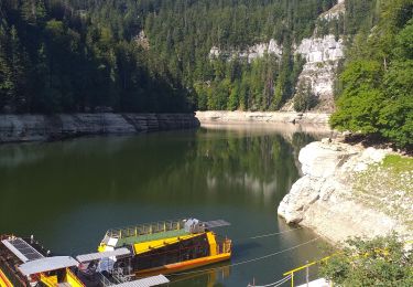
Espace VTT FFC Val de Morteau Circuit labellisé par la Fédération Française de Cyclisme. Ce circuit comporte alternativement des chemins roulants et des passages plus techniques, mais sans difficultés particulières. Après avoir traversé la forêt communale dite "Bois du Geai" et ses remarquables sapins, vous découvrirez le Lac formé par le barrage du Châtelot, le célèbre saut du Doubs et les bassins du Doubs. A proximité, les belvédères du Châtelard et des Taillards donnent une vue impressionnante sur les gorges du Doubs.

Senderismo
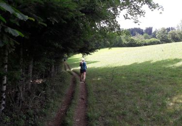
A pie
A pie
A pie
Senderismo
Senderismo
Senderismo
Senderismo
Senderismo