


10,4 km | 15,2 km-effort

Usuario


Aplicación GPS de excursión GRATIS
 SityTrail
IGN / Institutos geográficos
SityTrail World
El mundo es suyo
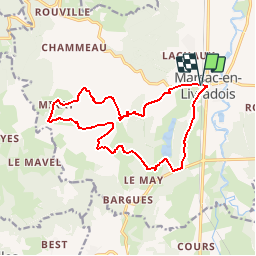
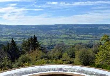
Ruta Bici de montaña de 15 km a descubrir en Auvergne-Rhône-Alpes, Puy-de-Dôme, Marsac-en-Livradois. Esta ruta ha sido propuesta por tracegps.
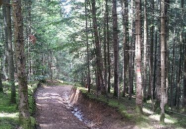
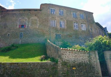
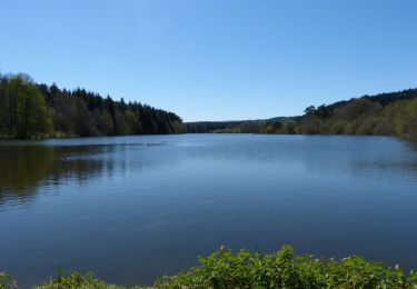
Centre VTT - FFC du Pays d’Ambert n° 72 Circuit labellisé par la Fédération Française de Cyclisme. Au départ de Marsac le circuit s'élève en direction de Mirat en serpentant dans la forêt. Une première descente vous conduit près de Faillargues à travers genêts et sapins. La seconde descente plus caillouteuse et technique se termine par un single track qui vous ramène dans la vallée en bordure de l'étang (privé) de Riols. Ce circuit peut se combiner avec les circuits n° 5 (23Km) et n° 7 (22Km), au départ d'Ambert.


A pie
A pie
Senderismo
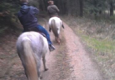
Caballo

A pie
A pie
Senderismo
Senderismo
Senderismo