


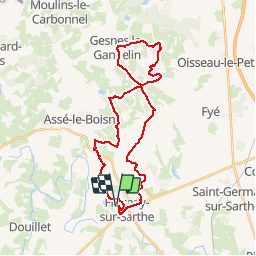

30 km | 36 km-effort

Usuario


Aplicación GPS de excursión GRATIS
 SityTrail
IGN / Institutos geográficos
SityTrail World
El mundo es suyo
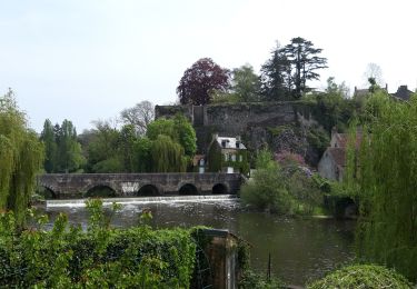
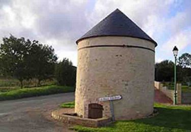
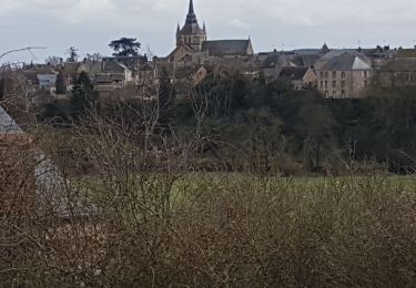
Ruta Bici de montaña de 29 km a descubrir en Países del Loira, Sarthe, Fresnay-sur-Sarthe. Esta ruta ha sido propuesta por tracegps.
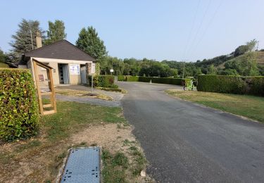
Espace VTT FFC des Alpes Mancelles Circuit labellisé par la Fédération Française de Cyclisme. Espace VTT FFC des Alpes Mancelles– Circuit n° 10 - Vaux Escarpement vertigineux, fortes pentes, passage à flanc de collines. 280km de circuits balisés par la FFC et parrainé par Laurence Leboucher triple championne du monde. Point d'accueil : domaine du Gasseau.

Senderismo
Senderismo

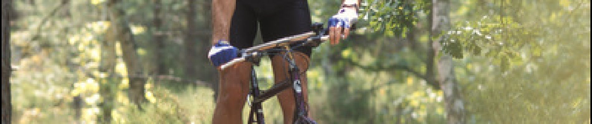
Bici de montaña
Senderismo
Marcha nórdica

A pie

Bicicleta

Senderismo
Senderismo