


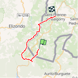

12,9 km | 21 km-effort

Usuario


Aplicación GPS de excursión GRATIS
 SityTrail
IGN / Institutos geográficos
SityTrail World
El mundo es suyo
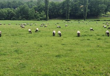
Ruta Carrera de 38 km a descubrir en Nueva Aquitania, Pirineos-Atlánticos, Urepel. Esta ruta ha sido propuesta por tracegps.
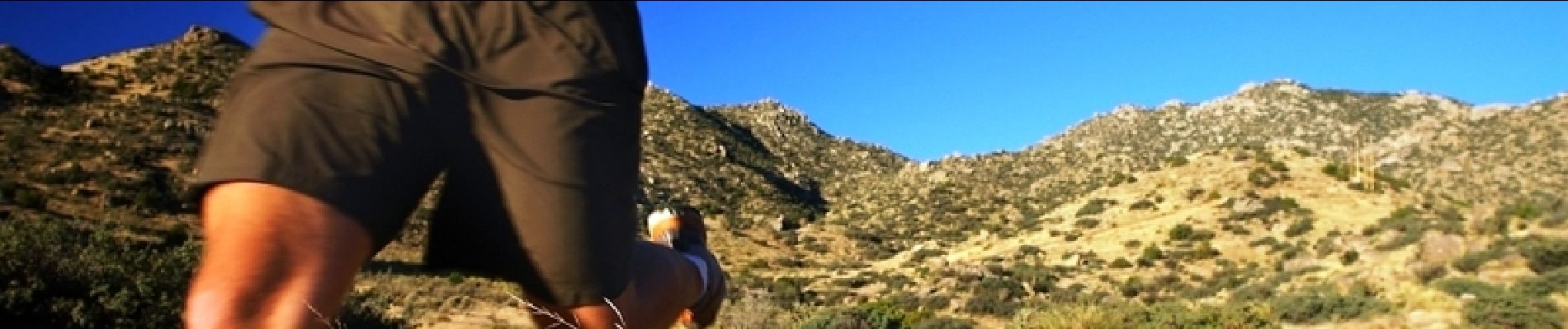
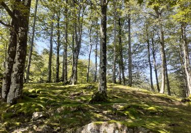
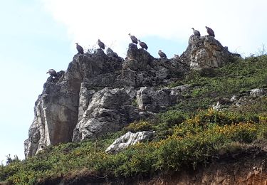
Le Pays basque est un formidable terrain d’aventure offrant de larges possibilités de sports nature. C’est ce pays et la vallée de Baïgorry que vous invitent à découvrir les membres d’EUSKAL RAID ASSOCIATION avec cette deuxième étape. Grace aussi aux Ultra fondus !

Senderismo
A pie
Senderismo
Senderismo
Senderismo
Senderismo
Senderismo
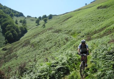
Bici de montaña
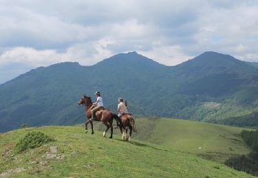
Caballo