


12,8 km | 26 km-effort

Usuario


Aplicación GPS de excursión GRATIS
 SityTrail
IGN / Institutos geográficos
SityTrail World
El mundo es suyo
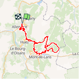
Ruta Bici de montaña de 93 km a descubrir en Auvergne-Rhône-Alpes, Isère, Oz. Esta ruta ha sido propuesta por tracegps.
La boucle démarre à Oz-en-Oisans puis se poursuit via l'Alpe d'Huez (au centre à gauche), le Col de Cluy (au sud de l'Alpes), le barrage du Lac du Chambon, le plateau d'Emparis (boucle de droite), Clavans le Bas, le Col de Sarenne et de nouveau l'Alpe d'Huez et Oz-en-Oisans D'autres infos ici


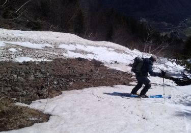
Senderismo
Senderismo
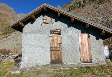
Senderismo
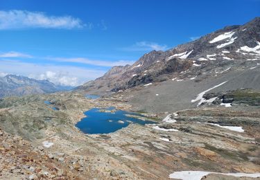
Senderismo
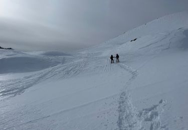
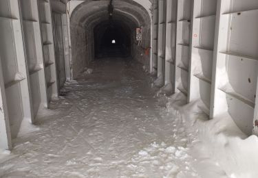
Raquetas de nieve
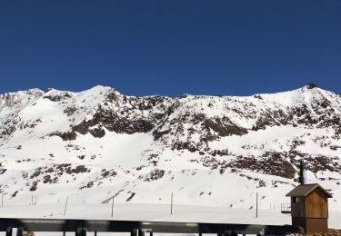
Esquí de fondo
Esquí de fondo
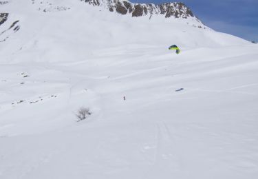
Esquí de fondo
Esquí de fondo