


14,1 km | 16 km-effort

Usuario


Aplicación GPS de excursión GRATIS
 SityTrail
IGN / Institutos geográficos
SityTrail World
El mundo es suyo
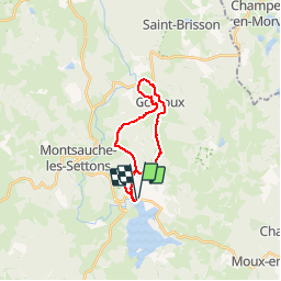
Ruta Bici de montaña de 18 km a descubrir en Borgoña-Franco Condado, Nièvre, Montsauche-les-Settons. Esta ruta ha sido propuesta por tracegps.
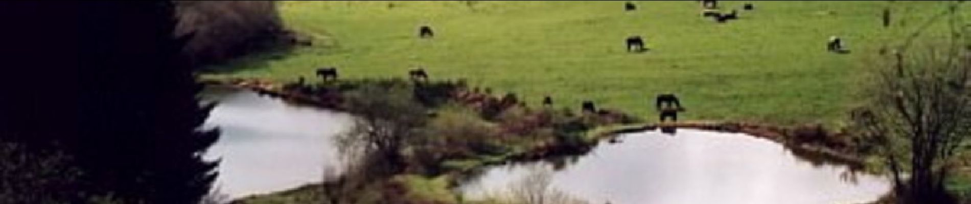
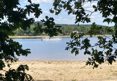
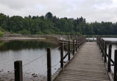
Les eaux constituent le trait d'union de ce pays qui dispose d'une chute renommée, le Saut du Gouloux, site naturel classé, haut lieu du flottage du bois jusqu'au début de ce siècle.


Senderismo
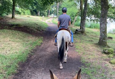
Paseo ecuestre
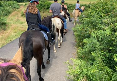
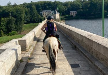
Paseo ecuestre
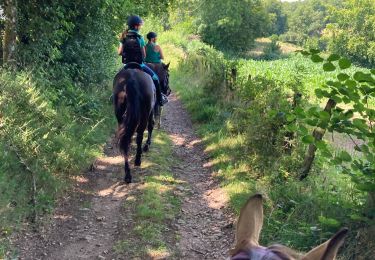
Paseo ecuestre
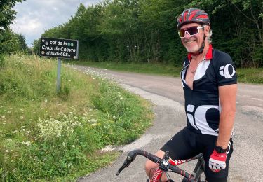
Bici de carretera
Paseo ecuestre
Paseo ecuestre
Senderismo
Bici de montaña